Fortress
Gjirokastër Fortress
 Albania
- Heritage status
- Cultural Monument of Albania
- Location
- Gjirokastër municipality
- Coordinates
- 40.074°, 20.141°
- Open data
- Wikidata Q636638
- Links
- OpenStreetMap · Wikimedia Commons
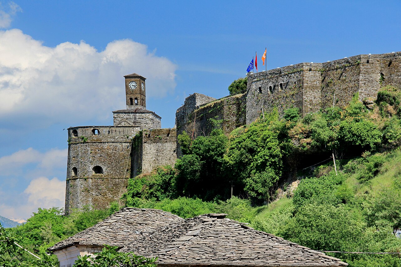
Description
Gjirokastër Castle (Albanian: Kalaja e Gjirokastrës or Kalaja e Argjirosë) is a fortress in Gjirokastër, Albania (during Ottoman rule it was historically known as Ergiri while Greeks referred to it as Argyrokastro, a name applied also to the castle) which also includes a Bektashi tyrbe. Gjirokastër Castle is situated at a height of 336 metres (1,102 ft).
The castle dominates the town and overlooks the strategically important route along the river valley. It is open to visitors and contains a military museum featuring captured artillery and memorabilia of the Communist resistance against German occupation, as well as a captured United States Air Force plane to commemorate the Communist regime's struggle against the Western powers.
Gjirokastër Castle is one of the most important historical monuments in Albania and represents a significant example of military architecture in the Balkans. Over the centuries, it has served various functions, including the defense of the city and administrative uses. Today, the castle is a well-known tourist attraction and a venue for cultural events, contributing to the preservation and promotion of the region’s historical heritage.
Text adapted from “Gjirokastër Fortress” on Wikipedia, CC BY-SA 4.0.
In the rankings
Gjirokastër Fortress ranks #986 of 9,902 worldwide in the atlas's castle fame ranking, and #4 of the 27 mapped in Albania. Its Wikipedia articles were opened 4,368 times in the last 60 days, more than 87% of the atlas. 2 more atlas landmarks stand within 25 km. The nearest day-trip guide is Vlorë, 70 km away. See how Albania compares in the castle statistics.
Castles nearby
- Libohovë Fortress12 km · Albania
- Borsh Fortress24 km · Albania
- Lëkurësi Fortress25 km · Albania
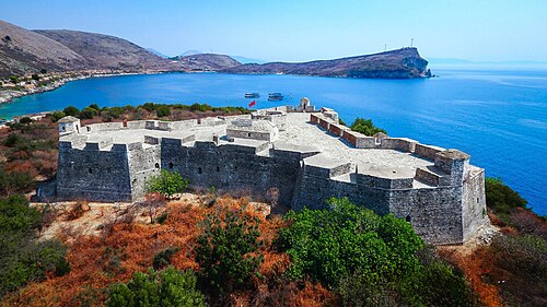
- Porto Palermo Fortress30 km · Albania
More castles in Albania
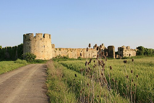
- Bashtovë FortressAlbania · 6th century
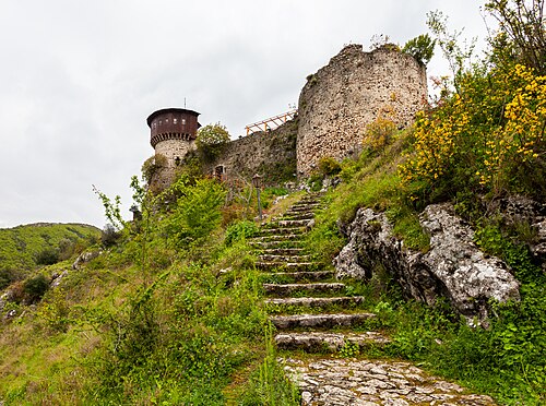
- Petrelë FortressAlbania · 6th century
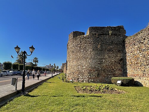
- Elbasan CastleAlbania · 4th century
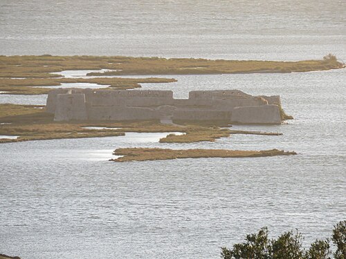
- Vivari FortressAlbania · 18th century