Ruin
Gräfenstein Castle
 Germany · 13th century
- Founded
- 1237
- Heritage status
- cultural heritage monument in Rhineland-Palatinate
- Location
- Merzalben
- Coordinates
- 49.2409°, 7.75678°
- Open data
- Wikidata Q22608
- Links
- Wikimedia Commons
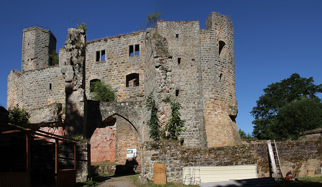
Description
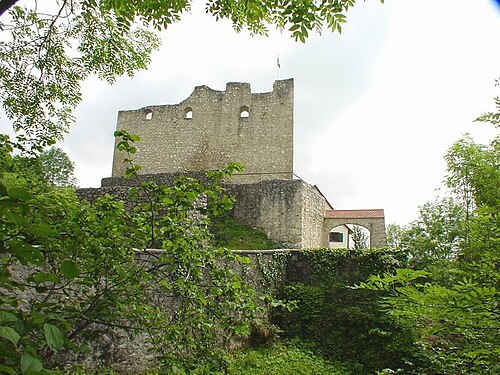
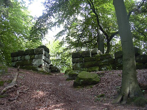
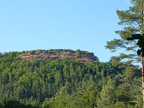
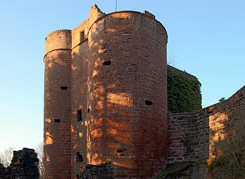
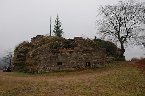
Gräfenstein Castle (German: Burg Gräfenstein) is a ruined rock castle about 2 kilometres (1.2 mi) east of the village of Merzalben in the German state of Rhineland-Palatinate. It is in the county of Südwestpfalz within the Palatine Forest and is often called Merzalber Schloss ("Merzalben Castle"). It is built on a rock plateau 12 metres (39 ft) high at an elevation of 447 metres (1,467 ft) above sea level.
Text adapted from “Gräfenstein Castle” on Wikipedia, CC BY-SA 4.0.
In the rankings
Gräfenstein Castle ranks #5,528 of 9,902 worldwide in the atlas's castle fame ranking, and #510 of the 927 mapped in Germany. Founded 1237, it is older than 72% of the atlas's dated landmarks, one of 1134 atlas entries founded in the 13th century. Its Wikipedia articles were opened 926 times in the last 60 days, more than 53% of the atlas. 31 more atlas landmarks stand within 25 km. The nearest day-trip guide is Kaiserslautern, 23 km away. See how Germany compares in the castle statistics.
Castles nearby
- Heidelsburg6 km · Germany
- Falkenburg Castle8 km · Germany
- Castle Neudahn9 km · Germany
- Castle Lemberg10 km · Germany
More castles in Germany
- Burg WetterGermany · 13th century
- Haus KemnadeGermany · 13th century
- NeuerburgGermany · 9th century
- Burg DerneckGermany · 14th century