 Ireland · 17th century
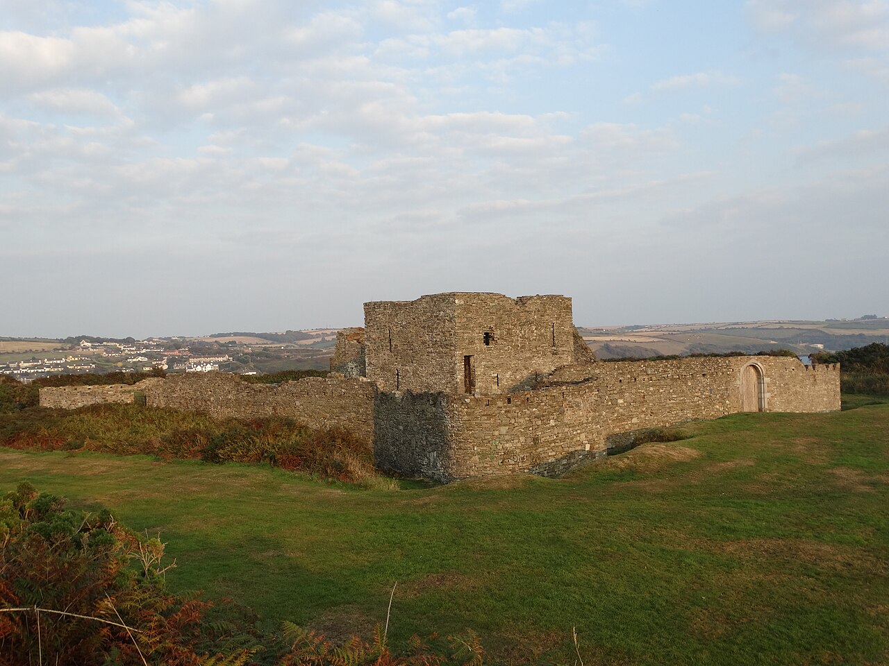
James's Fort ranks #6,312 of 9,040 worldwide in the atlas's castle fame ranking, and #119 of the 178 mapped in Ireland. Founded c. 1625, it is older than 28% of the atlas's dated landmarks, one of 710 atlas entries founded in the 17th century. 7 more atlas landmarks stand within 25 km. The nearest day-trip guide is Cork, 22 km away. See how Ireland compares in the castle statistics.
James Fort (Irish: Dún Rí Shéamuis) is an early 17th-century pentagonal bastion fort located on Castlepark peninsula in Kinsale harbour, County Cork, Ireland. Situated downstream from Kinsale on the River Bandon, the fort was built to defend the harbour and seaborne approaches of the town. Following the construction of Charles Fort on the opposite side of the harbour in the late 17th century, James Fort became known as the "old fort" (Irish: an Seandaingean). Listed as a protected National Monument, and managed by the Office of Public Works, the fort is open to visitors.
Text adapted from “James's Fort” on Wikipedia, CC BY-SA 4.0.
View on the interactive castle map →