 Poland · 14th century
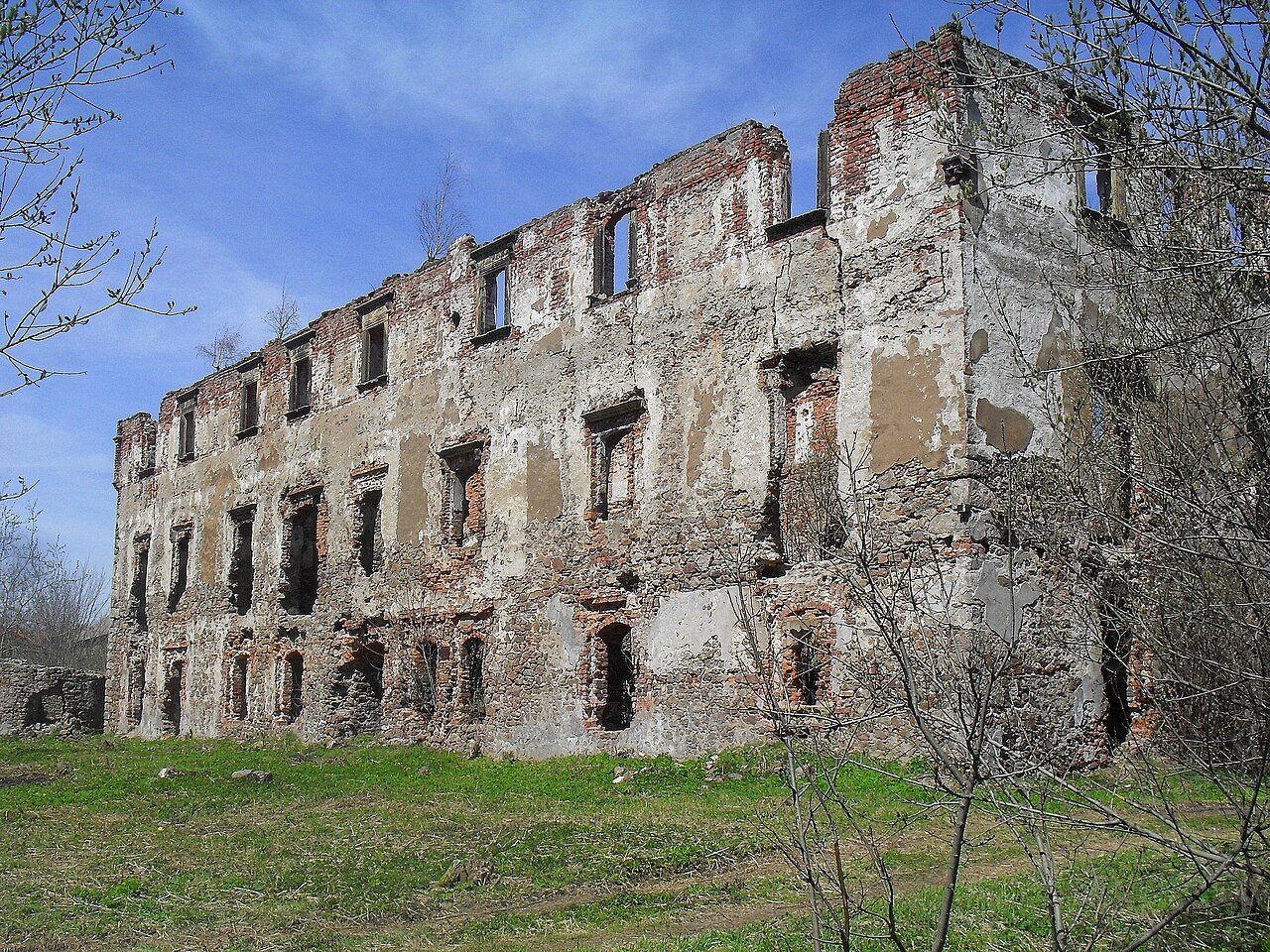
Kamienna Góra Castle ranks #6,796 of 9,040 worldwide in the atlas's castle fame ranking, and #261 of the 397 mapped in Poland. Founded c. 1350, it is older than 54% of the atlas's dated landmarks, one of 758 atlas entries founded in the 14th century. 21 more atlas landmarks stand within 25 km. The nearest day-trip guide is Wałbrzych, 18 km away. It is one of the 80 landmarks on the atlas's regional map of Lower Silesia. See how Poland compares in the castle statistics.
Kamienna Góra Castle (Polish Zamek Grodztwo) is a castle in Kamienna Góra (Landeshut) in the Powiat Kamiennogórski of the Lower Silesian Voivodeship in Poland, which survives only as a ruin.
Machine-translated from “Schloss Kreppelhof” on the German Wikipedia, CC BY-SA 4.0.
View on the interactive castle map →