 Ukraine · 13th century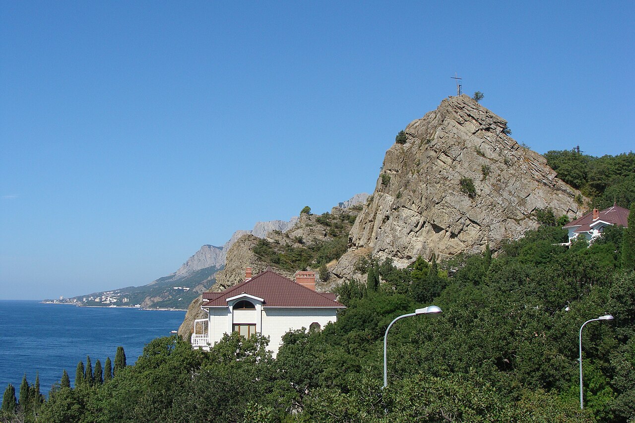
Kastropulo is the ruins of a castle of the 13th–14th century, located on the Iphigenia rock in Kastropol on the southern coast of Crimea. The well-known philologist A. A. Beletsky interpreted the name Kastropulo from the Greek as "little fortress".
Machine-translated from “Кастропуло” on the Russian Wikipedia, CC BY-SA 4.0.
Kastropulo ranks #8,941 of 9,079 worldwide in the atlas's castle fame ranking, and #183 of the 195 mapped in Ukraine. Founded c. 1300, it is older than 61% of the atlas's dated landmarks — one of 1080 atlas entries founded in the 13th century. 21 more atlas landmarks stand within 25 km. The nearest day-trip guide is Sevastopol, 36 km away. See how Ukraine compares in the castle statistics.
View on the interactive castle map →