 Ukraine · 17th century
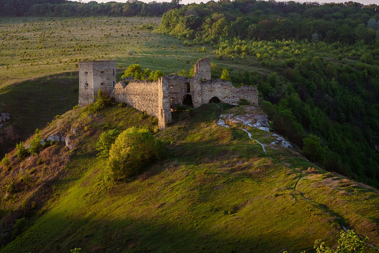
Kudryntsi Castle ranks #5,942 of 9,040 worldwide in the atlas's castle fame ranking, and #85 of the 195 mapped in Ukraine. Founded c. 1625, it is older than 28% of the atlas's dated landmarks, one of 710 atlas entries founded in the 17th century. 8 more atlas landmarks stand within 25 km. The nearest day-trip guide is Kamianets-Podilskyi, 22 km away. See how Ukraine compares in the castle statistics.
The ruined Kudryntsi Castle (Ukrainian: Кудринецький замок, romanized: Kudrynets'kyi zamok, Polish: Zamek w Kudryńcach) is perched on a hilltop overlooking the Zbruch River in Chortkiv Raion, Ternopil Oblast, Ukraine, 25 km west of a larger fortress in Kamianets-Podilskyi. It was built in the early 17th century by Jan Szczęsny Herburt and throughout the ensuing century was subjected to repeated sieges by the Cossacks and the Turks. By the 19th century, some portions of the walls had crumbled away, and the structure was left to its fate.
Text adapted from “Kudryntsi Castle” on Wikipedia, CC BY-SA 4.0.
View on the interactive castle map →