 England · 1st century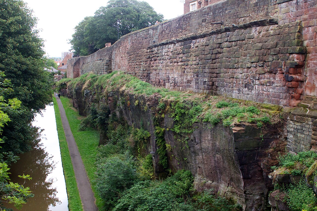
Chester city walls consist of a defensive structure built to protect the city of Chester in Cheshire, England. Their construction was started by the Romans when they established the fortress of Deva Victrix between 70 and 80 [CE]. It originated with a rampart of earth and turf surmounted by a wooden palisade. From about 100 CE they were reconstructed using sandstone, but were not completed until over 100 years later. Following the Roman occupation nothing is known about the condition of the walls until Æthelflæd refounded Chester as a burgh in 907. The defences were improved, although the precise nature of the improvement is not known. After the Norman conquest, the walls were extended to the west and the south to form a complete circuit of the medieval city. The circuit was probably complete by the middle of the 12th century.
Maintenance of the structure of the walls was an ongoing concern. They were further fortified before the Civil War, and were damaged during the war. Following this they ceased to have a defensive purpose, and were developed for leisure and recreation. The walls are now a major tourist attraction, and form an almost complete circuit of the former medieval city, with a total walkway length of 2.95 kilometres (1.8 mi). Upkeep and repair of the walls continues to be a problem.
Text adapted from “Chester city walls” on Wikipedia, CC BY-SA 4.0.
Chester city walls ranks #3,111 of 9,079 worldwide in the atlas's castle fame ranking, and #208 of the 360 mapped in England. Founded 70, it is older than 98% of the atlas's dated landmarks — one of 33 atlas entries founded in the 1st century. Its Wikipedia articles were opened 2,438 times in the last 60 days, more than 74% of the atlas. 10 more atlas landmarks stand within 25 km. The nearest day-trip guide is Wrexham, 17 km away. See how England compares in the castle statistics.
View on the interactive castle map →