Ruin
Lichtenstein Castle (Lower Franconia)
 Germany · 13th century
- Founded
- 1232
- Heritage status
- architectural heritage monument in Bavaria
- Location
- Pfarrweisach
- Coordinates
- 50.14122°, 10.77988°
- Open data
- Wikidata Q1012936
- Links
- Wikimedia Commons
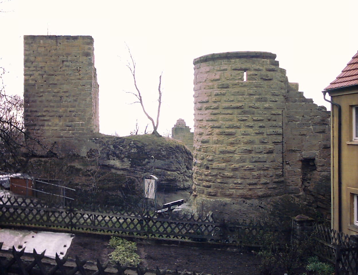
Description
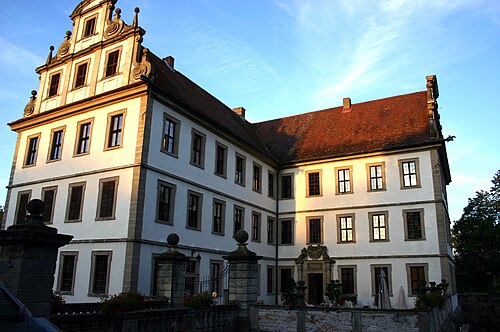
Lichtenstein Castle (German: Burg Lichtenstein) is a high to late medieval hill castle, 380 m above sea level (NN), about six kilometres north of Ebern in the Lower Franconian county of Haßberge in Bavaria. It is located in the municipality of Pfarrweisach.
Of the originally four sub-castles of this great joint-fief or Ganerbenburg only one, the South Castle, is still occupied. The North Castle only survives as ruins. On the site of the now vanished third castle the Protestant Church of the Eternal Flame (Zum Ewigen Licht) was built in the Baroque era. In the southwestern part of the site lie the ruins of a fourth joint-vassal castle seat.
Text adapted from “Lichtenstein Castle (Lower Franconia)” on Wikipedia, CC BY-SA 4.0.
In the rankings
Lichtenstein Castle (Lower Franconia) ranks #6,836 of 9,902 worldwide in the atlas's castle fame ranking, and #726 of the 927 mapped in Germany. Founded 1232, it is older than 72% of the atlas's dated landmarks, one of 1134 atlas entries founded in the 13th century. 12 more atlas landmarks stand within 25 km. See how Germany compares in the castle statistics.
Castles nearby
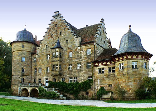
- Schloss Eyrichshof4 km · Germany
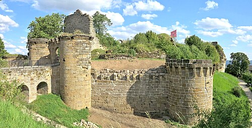
- Altenstein Castle5 km · Germany
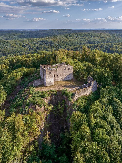
- Bramberg Castle11 km · Germany
- Schloss Kirchlauter12 km · Germany
More castles in Germany
- Lindelbrunn CastleGermany · 12th century
- Löwenburg and PhilippsburgGermany · 13th century
- MartinsburgGermany · 13th century
- Schloss BasedowGermany