 England · 2nd century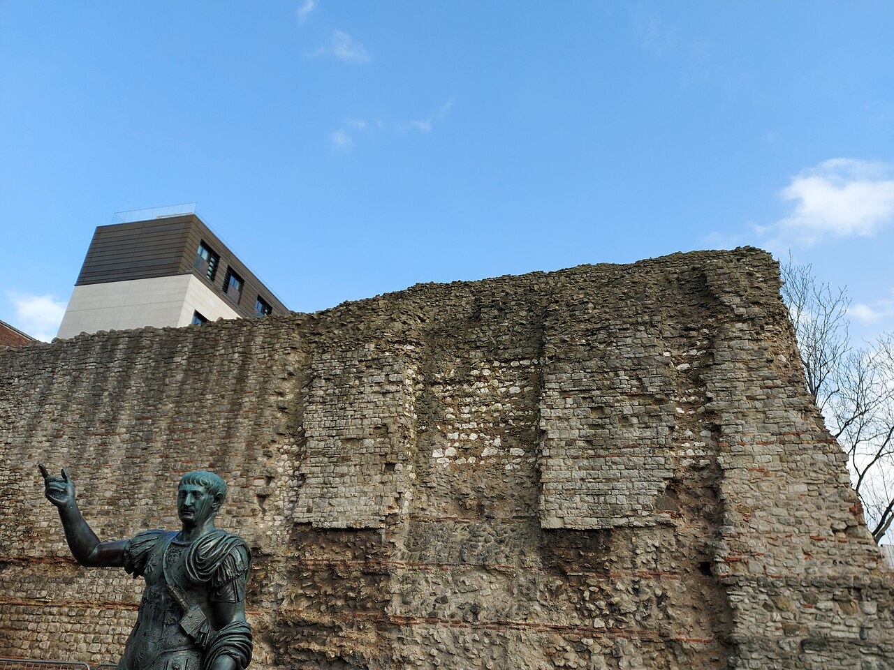
The London Wall is a defensive wall first built by the Romans around the strategically important port town of Londinium in c. AD 200, as well as the name of a modern street in the City of London, England.
Roman London was, from around 120–150, protected by a large fort, with a large garrison, that stood to its north-western side. The fort, now referred to as the Cripplegate Fort, was later incorporated into a comprehensive city-wide defence, with its strengthened northern and western sides becoming part of the Wall which was built around 200. The incorporation of the fort's walls gave the walled area its distinctive shape in the north-west part of the city.
The end of Roman rule in Britain, around 410, led to the wall falling into disrepair. It was restored in the late Anglo-Saxon period, a process generally thought to have begun under Alfred the Great after 886. Repairs and enhancements continued throughout the medieval period. The wall largely defined the boundaries of the City of London until the later Middle Ages, when population rises and the development of towns around the city blurred the perimeter.
From the 18th century onward, the expansion of the City of London saw large parts of the wall demolished, including its city gates, to improve traffic flow. Since the Second World War, conservation efforts have helped to preserve surviving sections of the city wall as scheduled monuments.
The long presence of the walls has had a profound and continuing effect on the character of the City of London, and surrounding areas. The walls constrained the growth of the city, and the location of the limited number of gates and the route of the roads through them shaped development within the walls, and more fundamentally, beyond them. With few exceptions, the modern roads heading into the former walled area are the same as those which passed through the former medieval gates.
Text adapted from “London Wall” on Wikipedia, CC BY-SA 4.0.
London Wall ranks #222 of 9,079 worldwide in the atlas's castle fame ranking, and #22 of the 360 mapped in England. Founded c. 200, it is older than 98% of the atlas's dated landmarks — one of 21 atlas entries founded in the 2nd century. Its Wikipedia articles were opened 15,961 times in the last 60 days, more than 96% of the atlas. 23 more atlas landmarks stand within 25 km. The nearest day-trip guide is London, 2 km away. See how England compares in the castle statistics.
View on the interactive castle map →