Fortress
Maglaj Fortress
🇧🇦 Bosnia and Herzegovina
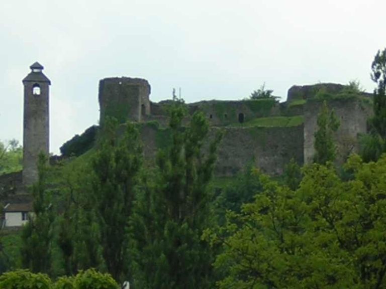
Maglaj Fortress (Serbo-Croatian: Maglajska tvrđava / Маглајска тврђава) is a large castle complex in the Municipality of Maglaj in Bosnia and Herzegovina. Maglaj fortress is 182 metres (597 ft) above sea level.
Text adapted from “Maglaj Fortress” on Wikipedia, CC BY-SA 4.0.
Maglaj Fortress ranks #5,612 of 8,134 worldwide in the atlas's castle fame ranking, and #35 of the 38 mapped in Bosnia and Herzegovina. 2 more atlas landmarks stand within 25 km. The nearest day-trip guide is Banja Luka, 76 km away. See how Bosnia and Herzegovina compares in the castle statistics.
View on the interactive castle map →Frequently asked questions
Where is Maglaj Fortress?
Maglaj Fortress stands in Bosnia and Herzegovina, at 44.54379°, 18.10224°.
How famous is Maglaj Fortress?
In this atlas's fame ranking: #5,612 of 8,134 worldwide, and #35 in Bosnia and Herzegovina. Fame here combines how many Wikipedia language editions cover a landmark with how many people read them.
What is the nearest castle to Maglaj Fortress?
Tešanj Castle, about 12 km away.
More castles in Bosnia and Herzegovina
- Hutovo Fortress Bosnia and Herzegovina · 16th century
- Walled town of Vidoški Bosnia and Herzegovina · 15th century
- Fortress of Ključ Bosnia and Herzegovina
- Samobor Fortress Bosnia and Herzegovina · 1st century
More fortresses
- Dagnum Albania
- Fort Paté France · 17th century
- Fort Mont-Valérien France · 19th century
- Kaffa genoese fortress Ukraine · 13th century