 England · 16th century
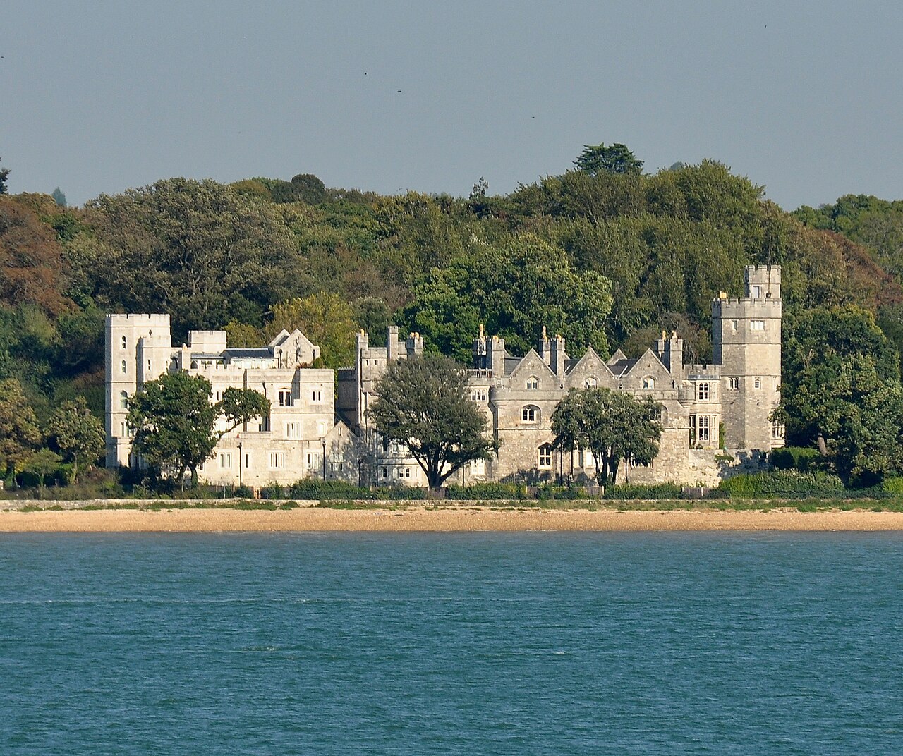
Netley Castle ranks #3,771 of 9,040 worldwide in the atlas's castle fame ranking, and #255 of the 360 mapped in England. Founded 1542, it is older than 39% of the atlas's dated landmarks, one of 887 atlas entries founded in the 16th century. Its Wikipedia articles were opened 985 times in the last 60 days, more than 50% of the atlas. 16 more atlas landmarks stand within 25 km. The nearest day-trip guide is Southampton, 5 km away. See how England compares in the castle statistics.
Netley Castle is a former artillery fort constructed in either 1542 or 1544 by Henry VIII in the village of Netley, Hampshire. It formed part of the King's Device programme to protect against invasion from France and the Holy Roman Empire, and it defended Southampton Water near the Solent. The castle included a central, stone keep with two flanking gun platforms and was garrisoned by ten men. It was decommissioned during the English Civil War and by 1743 it was overgrown and in ruins. In the 19th century the property was gradually converted into a private house, being extended in a Gothic style, complete with octagonal towers. Between 1939 and 1998 it was used as a nursing home, until the high costs of maintenance led to its closure. Following an archaeological survey, it was then converted into nine residential flats. It is protected under UK law as a Grade II* listed building.
Text adapted from “Netley Castle” on Wikipedia, CC BY-SA 4.0.
View on the interactive castle map →