 Wales · 14th century
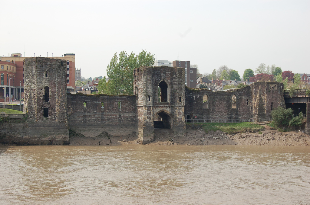
Newport Castle ranks #3,193 of 9,040 worldwide in the atlas's castle fame ranking, and #58 of the 107 mapped in Wales. Founded c. 1350, it is older than 54% of the atlas's dated landmarks, one of 758 atlas entries founded in the 14th century. Its Wikipedia articles were opened 1,178 times in the last 60 days, more than 55% of the atlas. 14 more atlas landmarks stand within 25 km. The nearest day-trip guide is Cardiff, 18 km away. See how Wales compares in the castle statistics.
Newport Castle (Welsh: Castell Casnewydd) is a ruined castle in Newport, Wales. It was built in the 14th century, probably by Hugh de Audley, 1st Earl of Gloucester or his son-in-law, Ralph, Earl of Stafford, with the purpose of managing the crossing of the River Usk. The castle was used as administrative offices for the collection of rent and dues from local tenants, and was also a residence and a garrison. In 1402 it was sacked by Owain Glyndŵr. It was in disrepair by 1522, and was taken by Oliver Cromwell's forces during the Civil War. Its use declined further in later centuries. It has been a Grade II* Listed building since 1951.
Text adapted from “Newport Castle” on Wikipedia, CC BY-SA 4.0.
View on the interactive castle map →