 Germany · 12th century
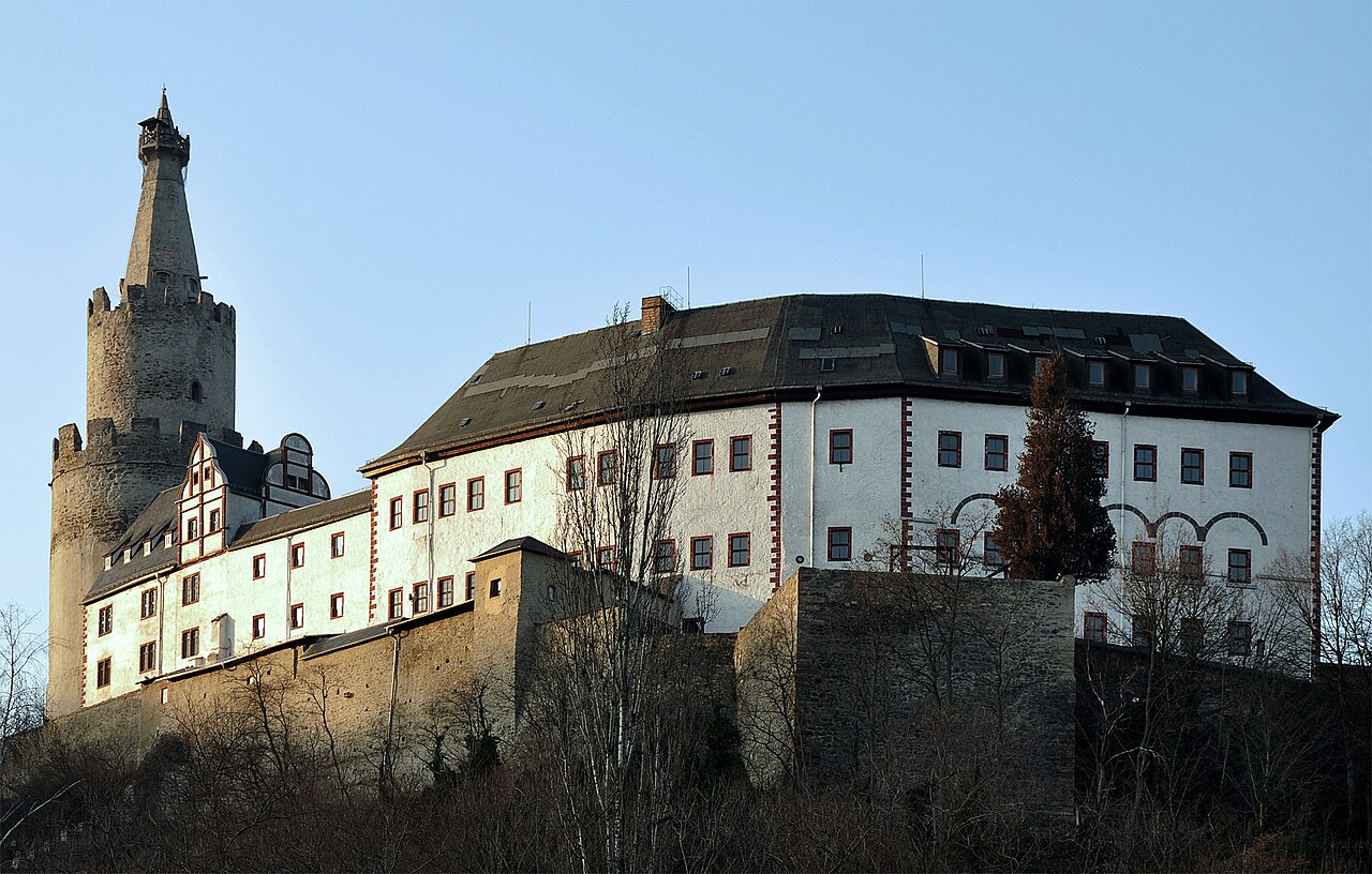
The Osterburg (German: [ˈoːstɐbʊʁk]) is a castle located conspicuously on a hill in the middle of the town of Weida in the county of Greiz in the German state of Thuringia.
Its 54-metre-high bergfried is the third highest and one of the oldest surviving bergfrieds in Germany. Above its second array of battlements there is a watchman's parlour, which accommodated a watchman until 1917. On the terrace there is a monument which records that this was the furthest south that the ice sheet came in Germany during the Elster glaciation.
Text adapted from “Osterburg (Weida)” on Wikipedia, CC BY-SA 4.0.
Osterburg ranks #4,049 of 9,035 worldwide in the atlas's castle fame ranking, and #331 of the 709 mapped in Germany. Founded 1163, it is older than 79% of the atlas's dated landmarks, one of 763 atlas entries founded in the 12th century. Its Wikipedia articles were opened 1,119 times in the last 60 days, more than 53% of the atlas. 5 more atlas landmarks stand within 25 km. The nearest day-trip guide is Karlovy Vary, 83 km away. It is one of the 38 landmarks on the atlas's regional map of Thuringia. See how Germany compares in the castle statistics.
View on the interactive castle map →