 India
India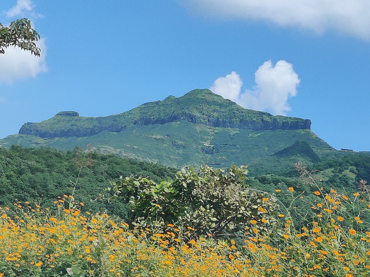
Purandar Fort is a mountain fort in Pune district in the Western Indian state of Maharashtra, India. The fort stands at 1,374 metres (4,508 ft) above sea level in the Western Ghats, 50 kilometres (31 mi) to the southeast of Pune.
The twin forts of Purandar (or Indraneel Parwat) and Vajragad (or Rudramal) of which the latter is the smaller of the two, is located on the eastern side of the main fort rising 1,347 metres (4,419 ft) above sea level. The village of Purandar takes its name from this fort. It is the birthplace of Chatrapati Sambhaji Maharaj.
Text adapted from “Purandar Fort” on Wikipedia, CC BY-SA 4.0.
Purandar Fort ranks #2,095 of 9,079 worldwide in the atlas's castle fame ranking, and #81 of the 224 mapped in India. Its Wikipedia articles were opened 6,648 times in the last 60 days, more than 90% of the atlas. The nearest day-trip guide is Pune, 30 km away. See how India compares in the castle statistics.
View on the interactive castle map →