 Ukraine · 13th century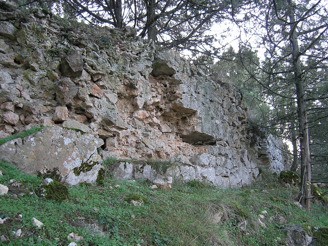
The Chorgun (Bibikov) Isar is a medieval castle in the southwestern part of Crimea. It is located 2 km southeast of the village of Chernorechye in the Balaklava district (Sevastopol), on the summit of Mount Isar (222 m).
The first archaeological survey of the fortress was carried out by S. M. Bibikov and A. K. Takhtay in 1938. Archaeological research on the territory of the fortification was conducted in 1980 by O. Ya. Savelya and I. Yu. Sukhanova, and in 2019 by E. V. Nedelkin.
The mountain is connected to the neighbouring summits by a narrow saddle, along which the medieval road to the fortification ran. From the north and west the summit is bounded by a defensive wall up to 130 m long, which survives to a height of up to 3 m. The walls are 1.8–2.2 m thick. At the gate in the western part of the castle stood a rectangular keep tower.
The fortress is dated to within the 13th century. It was possibly burned by the Mongols in 1278 during the campaign against Taurica.
Machine-translated from “Чоргунский исар” on the Russian Wikipedia, CC BY-SA 4.0.
Chorgun Isar ranks #8,974 of 9,079 worldwide in the atlas's castle fame ranking, and #188 of the 195 mapped in Ukraine. Founded c. 1250, it is older than 67% of the atlas's dated landmarks — one of 1080 atlas entries founded in the 13th century. 21 more atlas landmarks stand within 25 km. The nearest day-trip guide is Sevastopol, 16 km away. See how Ukraine compares in the castle statistics.
View on the interactive castle map →