Ruin
Kamara-Isar
🇺🇦 Ukraine · 13th century
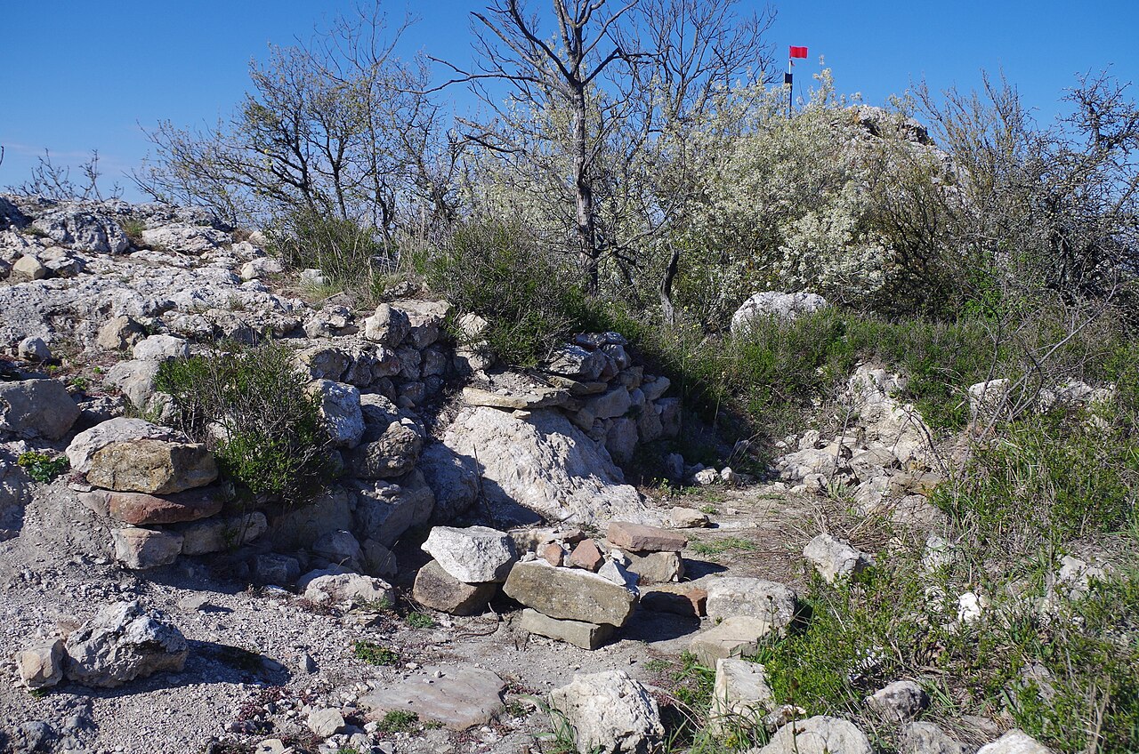
Kamara-Isar is a medieval castle of the 13th–15th century in the south-western part of Crimea. It is situated 1 km south of the village of Oboronnoye in the Balaklava district, on the summit of a rocky elevation called Ayu-Kaya or Khaos. The fortress is also known under the names Kamara Isar and the Kamara fortification.
An area measuring 63×20 m is enclosed on three sides (west, south and east) by fortress walls 1.2–1.5 m thick, which were built of slightly dressed local marble-like limestone on lime mortar. The wall has almost everywhere been dismantled to its foundations, but in places it survives to a height of up to 2.5 m. The castle had two towers, square in plan. On the south-western flank of the defences stands a square donjon tower measuring 7.5×7.5 m, and on the eastern flank a flanking projection. Traces of buildings are visible within the castle. Near one of the towers the round mouth of a well or cistern can be discerned. Within the fortification are numerous fragments of roof tiles and vessels of the 13th–15th century.
The entrance to the fortress was probably in the eastern wall. At the very highest point are visible the ruins of a small garrison church measuring 3×6 m, the walls of which are built of rubble on lime mortar. Archaeological investigations of this church were carried out in 2011.
In 1278 the castle was destroyed by the Mongols. In the 15th century three settlements, part of the Mangup kadılık, were probably under its control: Cembalo (Balaklava), Kadıköy and Kamary. After the Genoese seized Cembalo, the settlement of Kadıköy also passed to them. The boundaries of this domain were apparently: to the west the Karan heights, to the north the southern slopes of the Fedyukhin heights in the valley of the Chorna River, and to the south-east and east the Sukhaya river, which flows into the Chorna near the village of Chernorechye.
Machine-translated from “Камара Исар” on the Russian Wikipedia, CC BY-SA 4.0.
Kamara-Isar ranks #7,773 of 8,134 worldwide in the atlas's castle fame ranking, and #160 of the 188 mapped in Ukraine. Founded c. 1250, it is older than 69% of the atlas's dated landmarks — one of 861 atlas entries founded in the 13th century. 19 more atlas landmarks stand within 25 km. The nearest day-trip guide is Sevastopol, 15 km away. See how Ukraine compares in the castle statistics.
View on the interactive castle map →Frequently asked questions
Where is Kamara-Isar?
Kamara-Isar stands in Ukraine, at 44.50556°, 33.65278°.
When was Kamara-Isar built?
The atlas dates its founding to c. 1250. Earlier structures may have stood on the site; this is the earliest documented founding year.
How famous is Kamara-Isar?
In this atlas's fame ranking: #7,773 of 8,134 worldwide, and #160 in Ukraine. Fame here combines how many Wikipedia language editions cover a landmark with how many people read them.
What is the nearest castle to Kamara-Isar?
Cembalo, about 4 km away.
More castles in Ukraine
- Kyz-Kule Ukraine · 15th century
- Novobohorodytska Fortress Ukraine · 17th century
- Bilevska fortress Ukraine
- Aluston Fortress Ukraine · 6th century
More ruins
- Gurzuf Fortress Ukraine · 6th century
- Demerdji Isar Ukraine · 13th century
- Asarane Burun Ukraine
- Burun Kaia Ukraine · 9th century