 India · 7th century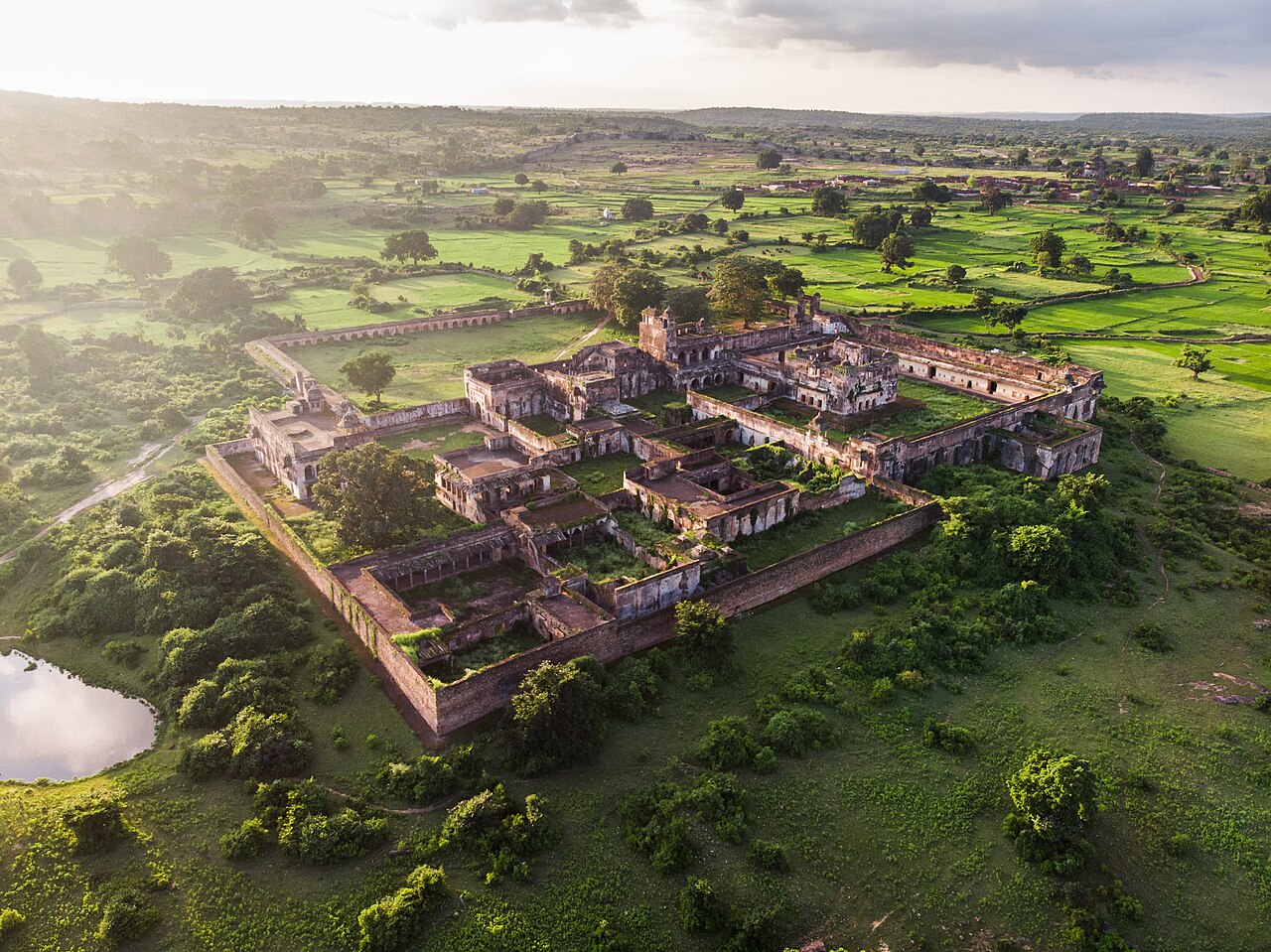
The Rohtasgarh or Rohtas Fort is located in the Son River valley, in the small town of Rohtas in Bihar, India.
Rohtasgarh is situated on the upper course of the river Son, 24° 57′ N, 84° 2′E. It takes around two hours from Sasaram to reach the foot of the hill over which is the Rohtas fort. It can be reached easily from the Dehri town, which has very good road network. One can also easily reach Rohtas fort via Akbarpur. The fort is situated at about 1500 feet above sea level. The 2000 old limestone steps were probably meant for elephants. For the visitor, they are exhausting climb of an hour and a half. At the end of the climb, one reaches the boundary wall of the fort. A dilapidated gate with a cupola can be seen there, which is the first of many gates provided for well-guarded entrances to the fort. From here one has to walk another mile or so before the ruins of Rohtas can be seen.
The early history of Rohtas is obscure. According to the local legends, the Rohtas hill was named after the Rohitāśva, the son of a legendary king Harishchandra. However, the legends about Rohitāśva make no mention of this area, and no pre-7th century ruins have been found at the site.
The oldest record at Rohtas is a short inscription of "Mahasamanta Shashanka-dava", whom John Faithfull Fleet identified with the Gauda king Shashanka. The Chandra and Tunga dynasties, which ruled in Bengal and Odisha regions respectively, traced their origin to a place called Rohitagiri, which may possibly be modern Rohtas. However, no evidence has been found at Rohtas to confirm this theory.
A 1223 CE (1279 VS) inscription suggests that Rohtasgarh was in possession of one Shri Pratapa. The inscription states that he defeated a "Yavana" army; the "Yavana" here probably refers to a Muslim general. F. Kielhorn identified Shri Pratapa (Śrī-Pratāpa) as a member of the Khayaravala dynasty, whose inscriptions have been found at other locations in the Rohtas district. The members of this dynasty ruled the Japila territory as feudatories, possibly that of the Gahadavalas. The Khayaravalas are probably represented by the modern Kharwars.
In 1539 CE, the Fort of Rohtas passed out of the hands of the Hindu kings into those of Sher Shah Suri. Sher Shah Suri had just lost the Fort at Chunar in a fight with the Mughal emperor Humayun and was desperate to gain a foothold for himself.
Text adapted from “Rohtas Fort, India” on Wikipedia, CC BY-SA 4.0.
Rohtasgarh Fort ranks #1,520 of 9,079 worldwide in the atlas's castle fame ranking, and #60 of the 224 mapped in India. Founded c. 650, it is older than 96% of the atlas's dated landmarks — one of 39 atlas entries founded in the 7th century. Its Wikipedia articles were opened 2,994 times in the last 60 days, more than 78% of the atlas. See how India compares in the castle statistics.
View on the interactive castle map →