 China · 14th century
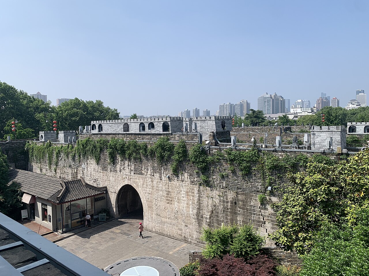
City Wall of Nanjing ranks #1,082 of 9,040 worldwide in the atlas's castle fame ranking, and #25 of the 103 mapped in China. Founded 1368, it is older than 53% of the atlas's dated landmarks, one of 758 atlas entries founded in the 14th century. Its Wikipedia articles were opened 5,849 times in the last 60 days, more than 88% of the atlas. 3 more atlas landmarks stand within 25 km. See how China compares in the castle statistics.
The City Wall of Nanjing was designed by the Hongwu Emperor (1328–1398) after he founded the Ming Dynasty (1368–1644) and established Nanjing as the capital in 1368. To consolidate his sovereignty and defend the city against coastal pirates, he adopted the suggestions of advisor Zhu Sheng to build a higher city wall, to expand strategic food reserve and to postpone the coronation. The construction of the wall required the labor of 200,000 workers over twenty-one years to complete. Around 7 million cubic meters (250×10^6 ft3) of earth were shifted to create one of the largest city walls ever constructed in China. The enclosed Nanjing City is about 55 square kilometers.
Text adapted from “City Wall of Nanjing” on Wikipedia, CC BY-SA 4.0.
View on the interactive castle map →