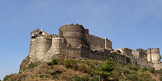
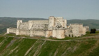
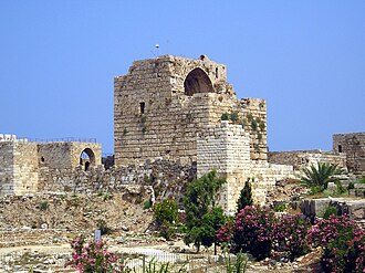
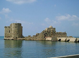
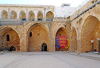
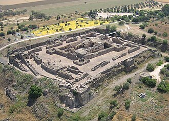
The Crusader states held a strip of coast and hinterland for less than two centuries, and what is left of them is a line of castles running north to south, each within a day’s ride of the next. The military orders took over most of them because only the orders could afford the garrisons: Krak des Chevaliers was the Hospitallers’ from 1142, with a garrison of some 2,000 at its peak, and T. E. Lawrence called it the most wholly admirable castle in the world. Krak and Saladin’s castle are together a UNESCO World Heritage Site.
What this atlas maps on the Crusader castles of the Levant
Every stop is named in the route itself rather than chosen by a radius, spanning 11th century to 13th century.
The best known is Krak des Chevaliers, ranked 50 of the 9,035 landmarks in the atlas by Wikipedia presence and real readership. The oldest is Krak des Chevaliers, founded 1031.
The route runs through Syria, Lebanon, Israel and Jordan. The same ground, without the itinerary: Castles in the Levant.
Travelling it
This is a historical line, not a drive: it crosses four countries and several closed borders. Kerak and Belvoir are straightforward to visit; the Syrian sites are not, and several were damaged in the civil war.
Day-trip guides for the towns and cities along it: Beirut · Irbid · Homs · Latakia · Haifa · Tripoli.
See the route on the map →