Ruin
Belvoir Fortress
 Israel · 12th century
- Founded
- 1168
- Location
- Northern District
- Coordinates
- 32.59556°, 35.52139°
- Open data
- Wikidata Q1010980
- Links
- Wikimedia Commons · Plan
Description
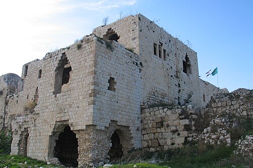
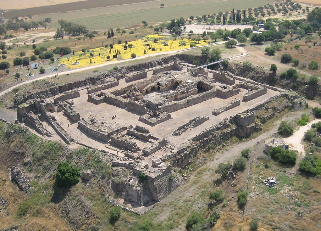
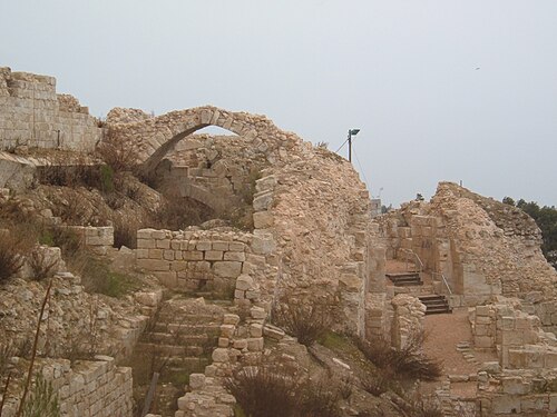
Belvoir Castle, also called Coquet by the Crusaders, also Kochav HaYarden (Hebrew: כוכב הירדן, lit. 'Star of the Jordan') and Kawkab al-Hawa (Arabic: كوكب الهوا, lit. 'Star of the Wind'), is a Crusader castle in northern Israel, on a hill on the eastern edge of the Issachar Plateau, on the edge of Lower Galilee 20 kilometres (12 mi) south of the Sea of Galilee. Gilbert of Assailly, Grand Master of the Knights Hospitaller, began construction of the castle in 1168. The castle ruin is located in Belvoir National Park, officially Kochav HaYarden National Park. It is the best-preserved Crusader castle in Israel.
Text adapted from “Belvoir Castle (Israel)” on Wikipedia, CC BY-SA 4.0.
In the rankings
Belvoir Fortress ranks #971 of 9,902 worldwide in the atlas's castle fame ranking, and #7 of the 24 mapped in Israel. Founded 1168, it is older than 79% of the atlas's dated landmarks, one of 810 atlas entries founded in the 12th century. Its Wikipedia articles were opened 3,878 times in the last 60 days, more than 85% of the atlas. 1 more atlas landmarks stand within 25 km. The nearest day-trip guide is Afula, 22 km away. It is one of the 108 landmarks on the atlas's regional map of the Levant. It is stop 6 of 7 on the Crusader castles of the Levant, the Syrian coast to southern Jordan. See how Israel compares in the castle statistics.
Castles nearby
- Tel Afula22 km · Israel
- Khirbat al-Minya30 km · Israel
- Ajlun Castle
 36 km · Jordan
- Safed Fortress41 km · Israel
More castles in Israel
- Château PèlerinIsrael · 13th century
- QulaIsrael · 12th century
- Migdal AfekIsrael · 12th century
- Ateret FortressIsrael · 12th century