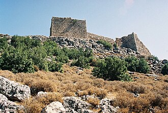
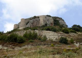
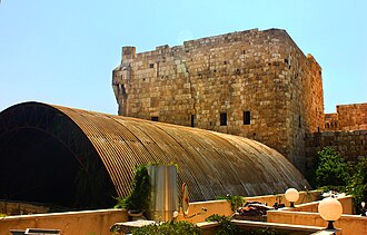
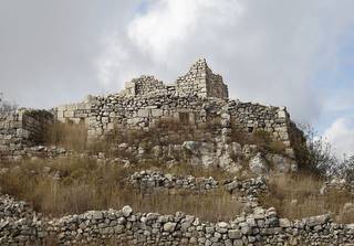
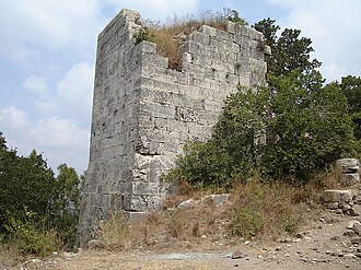
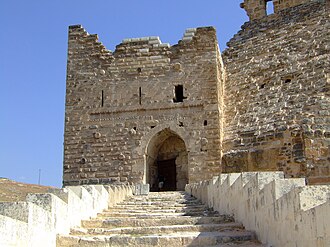
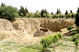
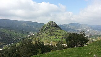
The closest is Royal Palace of Ugarit, 9 km north of the city centre; the most famous is Krak des Chevaliers (#50 of 9,035 worldwide) 97 km south-east.
The 100 km circle reaches into 2 countries: Syria (21), Turkey (1).
 Syria
Syria
22 castles, fortresses, palaces and ruins within 100 km of the city centre: every one on the interactive map, with photos, distances and directions.
The closest is Royal Palace of Ugarit, 9 km north of the city centre; the most famous is Krak des Chevaliers (#50 of 9,035 worldwide) 97 km south-east.
The 100 km circle reaches into 2 countries: Syria (21), Turkey (1).
9 km north · Ruin
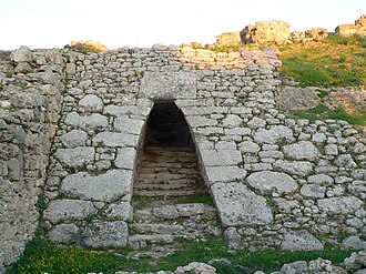
The Royal Palace of Ugarit is a Bronze Age ruins in the former port city of Ugarit on the Mediterranean coast of Syria.
27 km east · Fortress
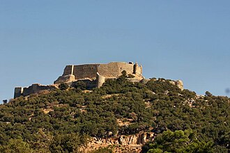
Castle of Saladin, also known as the Sahyun Castle, is a medieval castle in northwestern Syria.
44 km south · Ruin
Margat Castle, also known as Marqab Castle, is a castle near Baniyas, Syria, which was a Crusader fortress and one of the major strongholds of the…
57 km east · Fortress
Qalaat al-Madiq is a town and medieval fortress in northwestern Syria, administratively part of the Hama Governorate, located northwest of Hama.
59 km south-east · Ruin
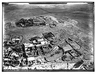
Abu Qubays is a former medieval castle and currently an inhabited village in northwestern Syria, administratively part of the Hama Governorate,…
45 km east · Ruin
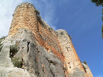
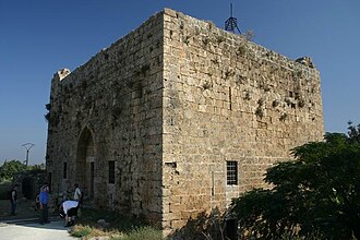
Bourzey castle, also known as Mirza castle, is located at the border of Syria coastal mountains and Ghab valley, 25 km away from Jisr al-Shughur, at…
60 km south-east · Castle
Al-Kahf Castle or the Castle of the Cave is a medieval Nizari Isma'ili castle located around 30 kilometres southeast of Margat, in the al-Ansariyah…
28 km east · Castle
Mahalibeh Castle, formerly known as Balatanos or Balatunus, is located on a high mountain summit near Lattakia, 40 km inland of the Syrian coast.
27 km east · Castle
Bani Qahtan castle is found in the Syrian Coastal Mountains, about 40 km from Latakia city.
49 km south-east · Castle
Aleika Castle or Aliqa Castle is located in Aliqa, approximately 85 km from Tartus. The castle consists of two concentric structures.
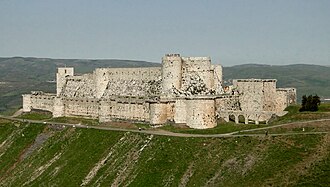
97 km south-east · Castle · #50 worldwide
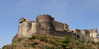
Krak des Chevaliers (French: [kʁak de ʃvalje]; Arabic: قلعة الحصن, romanized: Qalʿat al-Ḥiṣn, Arabic: [ˈqalʕat alˈħisˤn]; Old French: Crac des…
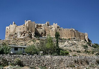
72 km south-east · Castle
Masyaf Castle is a medieval structure in the town of Masyaf in Hama Governorate, Syria, situated in the Orontes Valley, approximately 40 kilometres…
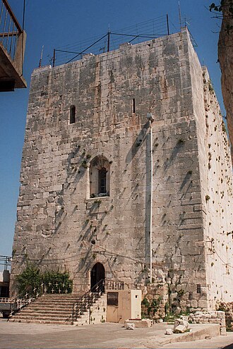
84 km south · Castle
Chastel Blanc is a medieval structure in Safita, western Syria. It was built by the Knights Templar during the Crusades upon prior fortifications.
75 km north-east · Ruin
Koz Castle, or Kürşat Castle is a castle in the Altınözü district of the Hatay Province of Turkey, built on a small hill where the Kuseyr Creek…
81 km south · Ruin
Chastel Rouge, also called Qal’at Yahmur, is a small Crusader stronghold in the North West of Syria that belonged to the County of Tripoli.
98 km south-east · Palace & château
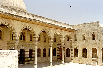
The Azm Palace is an 18th-century Ottoman-era palace in Hama, Syria at the center of the city on the banks of the Orontes River, about 400 meters…
86 km south-east · Ruin
Montferrand was a fortress in the County of Tripoli, built in 1126. The construction of Montferrand started when the united crusader troops from…
70 km south · Castle
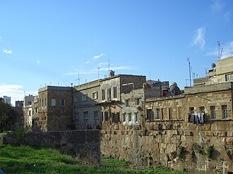
The Citadel of Tartus is a historic building now mostly a residential area by the Mediterranean Sea in Tartus, Syria.
90 km south · Castle
Areimeh Castle is located on a rocky plateau about 25 kilometers southeast of Tartus, near the Safita area on the Syrian coast.
77 km east · Castle
Shayzar Castle is a historic fortress located in Shaizar, Hama Governorate in northwestern Syria, atop a hill overlooking the Orontes River.
98 km south-east · Ruin
Hama Castle is a mostly-ruined fortress located in Hama, Syria, Located on the Orontes River. The location is dated back to the Seleucids.
77 km south-east · Castle
Qulay'a, also transliterated Qulay'at or Qleiat) is a village and medieval citadel in northwestern Syria, administratively part of the Tartus…
Distances are straight-line from the city centre. City coordinates and population: Wikidata Q200030.
The Castle Map atlas maps 22 landmarks (11 castles · 2 fortresses · 1 palace & château · 8 ruins) within 100 km of the centre of Latakia, measured straight-line: a curated selection of well-documented landmarks, not a count of every fortification ever built.
Royal Palace of Ugarit, a ruin 9 km north of the city centre.
Krak des Chevaliers, ranked #50 of 9,035 worldwide in the atlas's fame ranking: 97 km south-east from Latakia.
Nearby city guides: Baniyas (40 km) · Jisr ash-Shughur (59 km) · Ma'arrat Nu'man (82 km) · Idlib (90 km). See also medieval castles · all rankings · castles by country.