Ruin
Sarmizegetusa Regia
 Romania
- Heritage status
- part of UNESCO World Heritage Site · Historic Monument
- Location
- Orăștioara de Sus
- Coordinates
- 45.62278°, 23.31028°
- Open data
- Wikidata Q739802
- Links
- UNESCO · OpenStreetMap · Wikimedia Commons · Plan
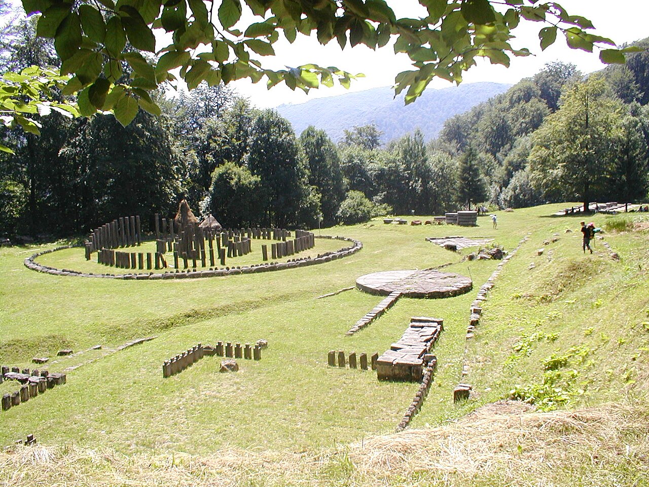
Description
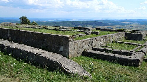
Sarmizegetusa Regia (also known as Sarmisegetusa, Sarmisegethusa, Sarmisegethuza; Ancient Greek: Ζαρμιζεγεθούσα, romanized: Zarmizegethoúsa) was the capital and the most important military, religious and political centre of the Dacians before the wars with the Roman Empire. Built on top of a 1200 m high mountain, the fortress, consisting of six citadels, was the core of a strategic and defensive system in the Orăștie Mountains (in present-day Romania). The archaeological site of Sarmizegetusa Regia is located in the village of Grădiștea de Munte in Hunedoara County.
Sarmizegetusa Regia should not be confused with Ulpia Traiana Sarmizegetusa, the Roman capital of Dacia built by Roman Emperor Trajan some 40 km away, which was not the Dacian capital. Sarmizegetusa Ulpia was discovered earlier, was known already in the early 1900s, and was initially mistaken for the Dacian capital, a confusion which led to incorrect conclusions being made regarding the military history and organization of the Dacians.
Text adapted from “Sarmizegetusa Regia” on Wikipedia, CC BY-SA 4.0.
In the rankings
Sarmizegetusa Regia ranks #248 of 9,902 worldwide in the atlas's castle fame ranking, and #5 of the 125 mapped in Romania. Its Wikipedia articles were opened 18,429 times in the last 60 days, more than 97% of the atlas. The nearest day-trip guide is Sibiu, 68 km away. It is one of the 78 landmarks on the atlas's regional map of Transylvania. See how Romania compares in the castle statistics.
Castles nearby
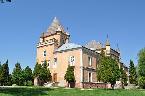
- Kendeffy Castle27 km · Romania
- Nalatzi-Fay mansion in Nălațvad, Hunedoara29 km · Romania
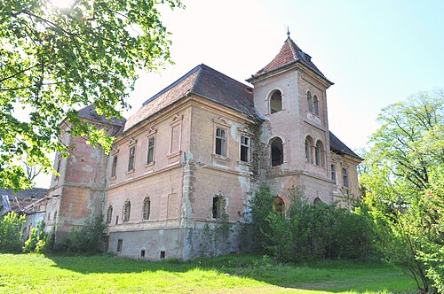
- Nopcsa–Pallavicini Mansion in Săcel, Hunedoara31 km · Romania
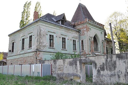
- Pogany mansion in Păclișa, Hunedoara34 km · Romania
More castles in Romania
- Poenari CastleRomania · 15th century
- Palace of CultureRomania · 20th century
- Cotroceni PalaceRomania · 17th century
- PorolissumRomania · 2nd century