 Ukraine · 14th century
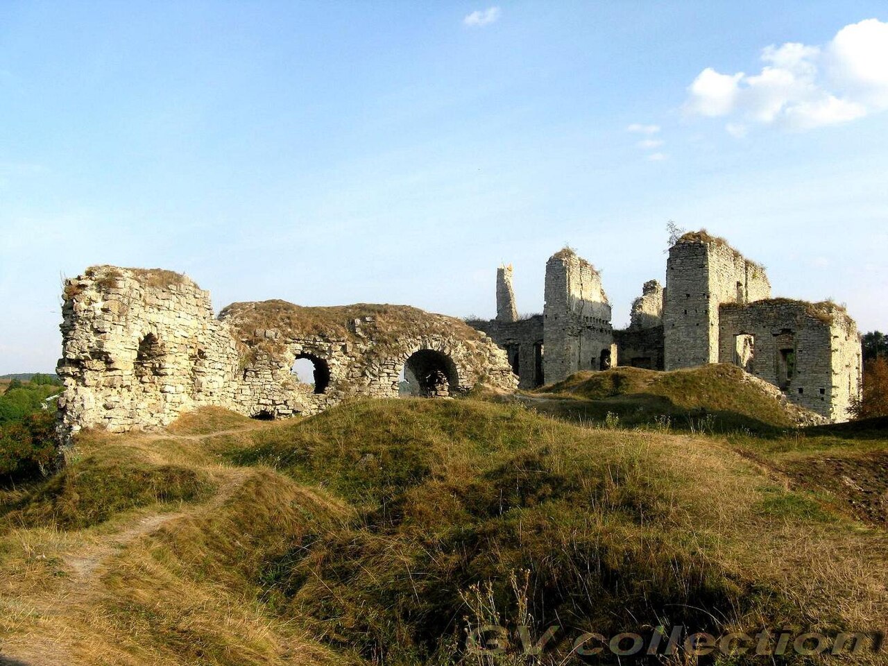
Skala-Podilska Castle ranks #5,805 of 9,040 worldwide in the atlas's castle fame ranking, and #81 of the 195 mapped in Ukraine. Founded c. 1350, it is older than 54% of the atlas's dated landmarks, one of 758 atlas entries founded in the 14th century. 8 more atlas landmarks stand within 25 km. The nearest day-trip guide is Kamianets-Podilskyi, 34 km away. See how Ukraine compares in the castle statistics.
The Skala-Podilska Castle (Ukrainian: Скала-Подільський замок, romanized: Skala-Podil'skyi zamok) it is located Skala-Podilska of the Ternopil Oblast, above a ravine of the Zbruch River, on a rocky promontory accessible only from the south. An architectural monument of national importance.
The castle was erected in the 14th century by the family of the Prince Koriatowiczów. Then, after 1515, it was significantly expanded by Stanislaw Lanckoroński of Brzezie (1465–1535) of Zadora coat of arms, starosta of Kamieniec, later Sandomierz voivode at the behest of King Sigismund I the Old. The Lanckoronski family owned the castle until 1706. Then the owners were the Tarłows. All that remains of the castle, which occupied the entire promontory, is a massive 16th-century tower, standing at the base of the promontory.
The ruins of the two-story Tarłow palace, which divided the castle courtyard into two parts: the larger southern part and the smaller northern part, where the remains of the oldest part of the castle are located. In 1914. The Gołuchowskis built a new one-story palace on a different site.
Text adapted from “Skala-Podilska Castle” on Wikipedia, CC BY-SA 4.0.
View on the interactive castle map →