Fortress
Španjola Fortress
🇭🇷 Croatia
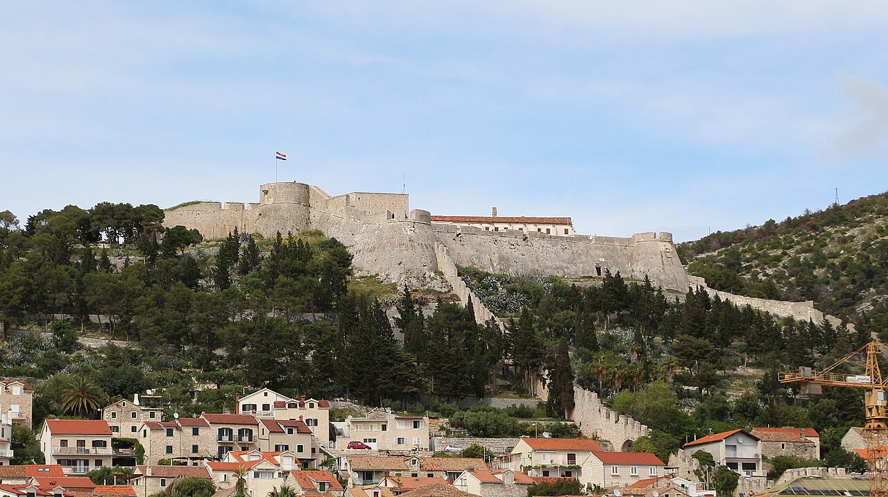
The Španjola town fortress (Croatian: Tvrđava Španjola, or Fortica, from the Italian fortezza) was, together with the town walls, the military defence of the town and port of Hvar. It stands on a hill above the port, at a height of about 110 metres above sea level. Since the 20th century it has been one of the town of Hvar's popular tourist attractions.
Machine-translated from “Španjola” on the Czech Wikipedia, CC BY-SA 4.0.
Španjola Fortress ranks #5,894 of 8,764 worldwide in the atlas's castle fame ranking, and #54 of the 79 mapped in Croatia. 1 more atlas landmarks stand within 25 km. The nearest day-trip guide is Split, 37 km away. It is one of the 32 landmarks on the atlas's regional map of Dalmatia. It is stop 13 of 21 on the Dalmatian fortress coast, Zadar to Dubrovnik. See how Croatia compares in the castle statistics.
View on the interactive castle map →Frequently asked questions
Where is Španjola Fortress?
Španjola Fortress stands in Croatia, at 43.17475°, 16.442°.
How famous is Španjola Fortress?
In this atlas's fame ranking: #5,894 of 8,764 worldwide, and #54 in Croatia. Fame here combines how many Wikipedia language editions cover a landmark with how many people read them.
What is the nearest castle to Španjola Fortress?
Tvrdalj Castle, about 12 km away.
More castles in Croatia
- Walls of Dubrovnik Croatia · 13th century
- Klis Fortress Croatia · 9th century
- Veliki Tabor Castle Croatia · 15th century
- Sponza Palace Croatia · 16th century
More fortresses
- Fort Beekenburg Curaçao · 18th century
- Citadel of Montreuil-sur-Mer France · 16th century
- Fort Fleur d'Épée France · 18th century
- Fort Montbarey France · 18th century