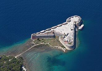
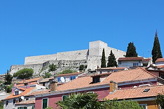
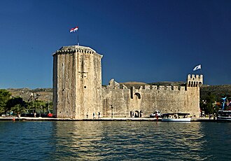
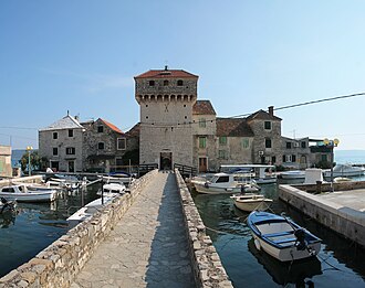
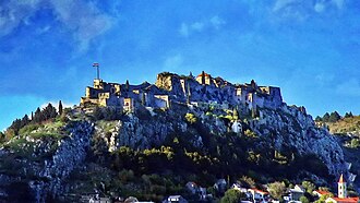
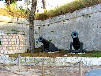
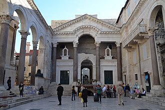
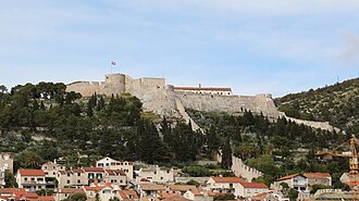
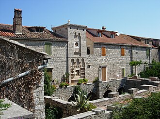
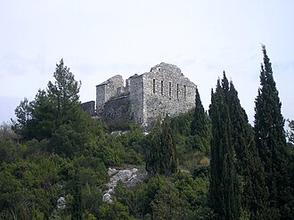
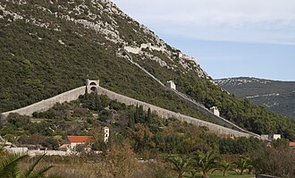
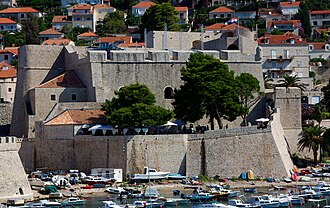
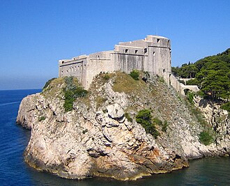
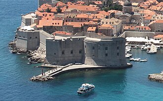
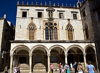
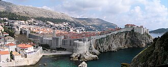
Venice held this coast for nearly four hundred years and fortified every harbour on it, first against the Ottomans and then against everyone else; Dubrovnik passed out of Venetian hands under the Treaty of Zadar in 1358, spent its own money on the same thing, and stayed a republic until Napoleon ended it in 1808. The result is a shoreline of curtain walls and star forts, and four World Heritage Sites along it: the old towns of Dubrovnik and Trogir, Diocletian’s Palace in Split, and the Venetian defences of Zadar and Šibenik.
What this atlas maps on the Dalmatian fortress coast
That is every atlas landmark within 20 km of the line, spanning 3rd century to 17th century. Nobody picked them: the geography did.
The best known is Diocletian's Palace, ranked 47 of the 9,035 landmarks in the atlas by Wikipedia presence and real readership. The oldest is Diocletian's Palace, founded 293.
The route runs through Croatia. The same ground, without the itinerary: Castles in Dalmatia.
Travelling it
The coast road, the D8, runs the whole way with the islands on one side; the ferries out to Hvar and Korčula leave from Split and Orebić.
Day-trip guides for the towns and cities along it: Split.
See the route on the map →