Ruin
Tsaparang
 China
- Heritage status
- Major Historical and Cultural Site Protected at the National Level · Tentative World Heritage Site
- Location
- Zanda County
- Coordinates
- 31.46615°, 79.6706°
- Open data
- Wikidata Q2658740
- Links
- Wikimedia Commons
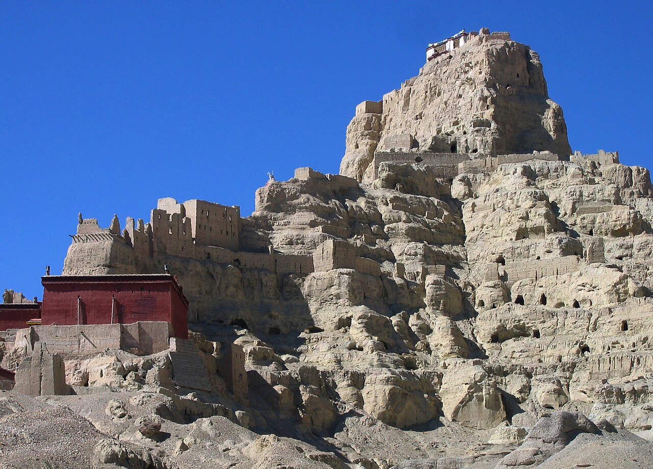
Description
Tsaparang (Tibetan: རྩ་བྲང, Wylie: rtsa-brang) was the capital of the ancient kingdom of Guge in the Garuda Valley, through which the upper Sutlej River flows, in Ngari Prefecture (Western Tibet) near the border of Ladakh. It is 278 km south-southwest of Senggezangbo Town and 26 km west of the 11th-century monastery at Tholing, and not far west of Mount Kailash and Lake Manasarovar. The Tsaparang Dzong was located here. Nearby is the Bon monastery of Gurugem.
Tsaparang is a huge fortress perched on a pyramid-shaped rock rising about 500 to 600 feet (152 to 183 m) at the end of a long narrow spur. It contains numerous tunnels and caves that have been carved out of the rock. At its base was a village where the common people lived. Above them were two public temples - the Lhakhang Marpo (Red Chapel) and the Lhakhang Karpo (White Chapel), and quarters for the monks. Up, a twisting stone staircase in a tunnel were the royal quarters, and at the very top, the summer palace.
The English TV presenter and historian Michael Wood, in the "Shangri-La" episode of the BBC TV/PBS documentary series In Search of Myths and Heroes, suggested that Tsaparang was the historical origin of the legend of Shangri-La, and that its two great temples were once home to the kings of Guge in modern Tibet.
Text adapted from “Tsaparang” on Wikipedia, CC BY-SA 4.0.
In the rankings
Tsaparang ranks #1,971 of 9,902 worldwide in the atlas's castle fame ranking, and #39 of the 104 mapped in China. Its Wikipedia articles were opened 2,520 times in the last 60 days, more than 78% of the atlas. See how China compares in the castle statistics.
Castles nearby
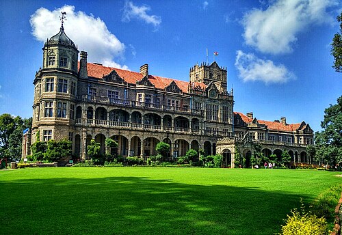
- Rashtrapati Niwas
 244 km · India
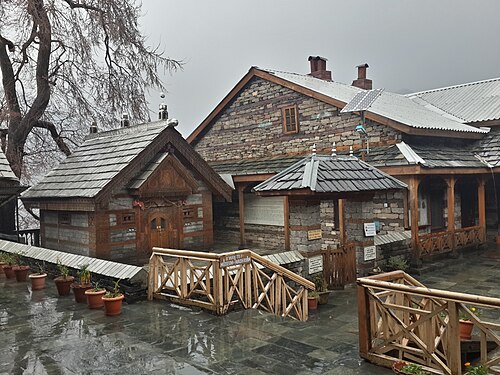
- Naggar Castle247 km · India
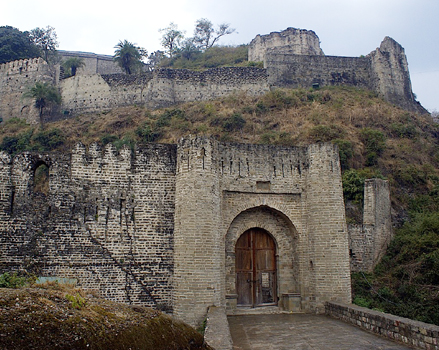
- Kangra Fort330 km · India
- Qila Mubarak, Patiala337 km · India
More castles in China
- Ming PalaceChina · 14th century
- Portas do CercoChina · 19th century
- JiankouChina · 14th century
- Chaotian PalaceChina