 India · 12th century
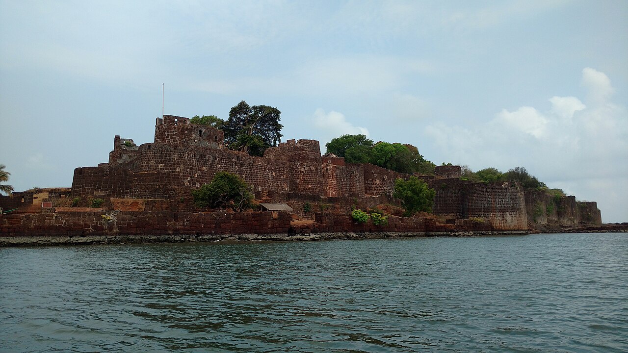
Vijaydurg Fort ranks #3,104 of 9,040 worldwide in the atlas's castle fame ranking, and #121 of the 223 mapped in India. Founded 1193, it is older than 77% of the atlas's dated landmarks, one of 763 atlas entries founded in the 12th century. Its Wikipedia articles were opened 2,416 times in the last 60 days, more than 74% of the atlas. See how India compares in the castle statistics.
Vijaydurg (sometimes written as Viziadurg), the oldest fort on the Sindhudurg coast, was constructed during the regime of Raja Bhoja II of the Shilahar dynasty (construction period 1193-1205) and restructured by Shivaji.
Earlier, the fort encompassed an area of 5 acres (20,000 m2) and was surrounded by sea on all four sides. Over the years the eastern trench was reclaimed and a road constructed thereon. Presently the area of fort is about 17 acres (69,000 m2) and is surrounded by the Arabian Sea on three sides. Shivaji extended the area of the fort by constructing three walls on the eastern side, each 36 metres high. He also constructed 20 bastions.
Vijaydurg Fort was called the "Eastern Gibraltar", as it was virtually impregnable. Its locational advantages include the 40 km long Waghotan/Kharepatan creek. Large vessels cannot enter the shallow water of this creek. Also, Maratha warships could be anchored in this creek and yet remain invisible from the sea. It is a protected monument.
Text adapted from “Vijaydurg Fort” on Wikipedia, CC BY-SA 4.0.
View on the interactive castle map →