 Greece · 4th century BC
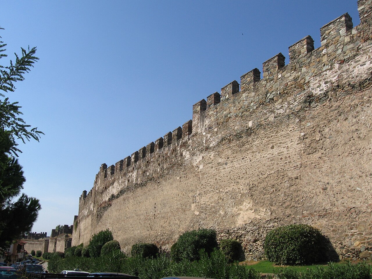
The Walls of Thessaloniki (Greek: Τείχη της Θεσσαλονίκης, Teíchi tis Thessaloníkis) are the 4 kilometer-long city walls surrounding the city of Thessaloniki during the Middle Ages and until the late 19th century, when large parts of the walls, including the entire seaward section, were demolished as part of the Ottoman authorities' restructuring of Thessaloniki's urban fabric. The city was fortified from its establishment in the late 4th century BC, but the present walls date from the early Byzantine period, ca. 390, and incorporate parts of an earlier, late 3rd-century wall. The walls consist of the typical late Roman mixed construction of ashlar masonry alternating with bands of brick.
The northern part of the walls adjoins the acropolis of the city, which formed a separate fortified enceinte, and within it lies another citadel, the Heptapyrgion (Seven Towers), popularly known by the Ottoman translation of the name, Yedi Kule.
In 1988, as part of the Paleochristian and Byzantine monuments of Thessaloniki, the walls were added to the UNESCO World Heritage List because of their outstanding Byzantine architecture.
Text adapted from “Walls of Thessaloniki” on Wikipedia, CC BY-SA 4.0.
Walls of Thessaloniki ranks #1,194 of 9,035 worldwide in the atlas's castle fame ranking, and #24 of the 133 mapped in Greece. Founded c. 325 BC, it is older than 99% of the atlas's dated landmarks, one of 15 atlas entries founded in the 4th century BC. Its Wikipedia articles were opened 3,313 times in the last 60 days, more than 80% of the atlas. 4 more atlas landmarks stand within 25 km. The nearest day-trip guide is Thessaloniki, 2 km away. See how Greece compares in the castle statistics.
View on the interactive castle map →