 レバノン · 17世紀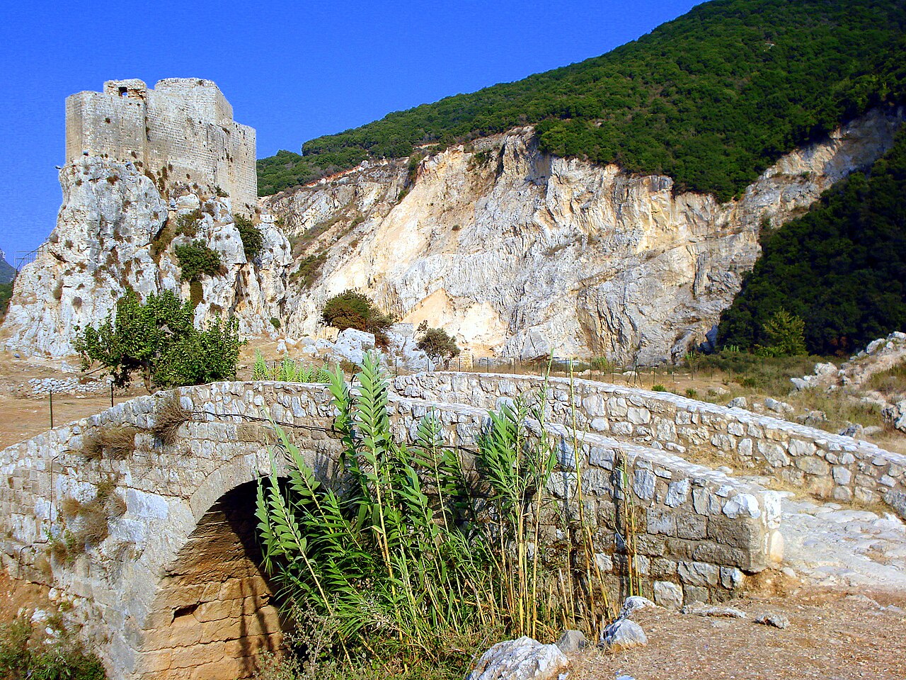
ムセイラ砦(アラビア語: قلعة المسيلحة、ラテン文字転写: Qalʿat al-Msaylḥa)は、レバノン北部にある歴史的な要塞で、北レバノンのバトルーンの町の北東約2.5キロメートル、ハマトのナハル・アル・ジャウズ川の右岸に戦略的に位置する。砦の立地により、谷を通る主要な通路を監視し、レバノン沿岸の重要な地形で歴史的に旅人を困らせてきた海岸のラス・アッシャカ岬を迂回する古代の道を制することができた。
ムセイラという名は「要塞化された場所」を意味するアラビア語に由来し、「要塞化された」を意味するムサッラハ(アラビア語: مسلحة)の縮小形である。石灰岩の岩の上に建てられた現在の建造物は17世紀に遡り、おそらくアミール・ファフルッディーン2世の命によるものである。十字軍時代の建築要素は見られないが、史料はこの地が十字軍時代に要塞化されていた可能性を示唆している。現存する砦は伝統的な砂岩の石造技術の産物で、2つの主要部分、厚さ最大2メートルの城壁、三角形の中庭、防御用の矢狭間からなり、周囲の地形に適応した設計となっている。
ムセイラ砦は、近くのラス・アッシャカ岬を守った中世十字軍の所領兼要塞であるピュイ・デュ・コネタブルと一部の資料で混同されている。しかし建築的・歴史的証拠は、これらが別個の構造物であり、ムセイラはオスマン帝国時代に、おそらくそれ以前の十字軍の要塞の場所またはその近くに建てられたことを示唆している。ムセイラ砦は1964年の25レバノン・リラ紙幣に描かれた。
英語版ウィキペディア「Mseilha Fort」より機械翻訳、CC BY-SA 4.0。
Mseilha Fortは、アトラスの城の知名度ランキングで世界3,608位(全9,035件中)、レバノンの17件では8位にランクされています。約1650年に創建され、アトラスの年代判明済みの城の25%より古い城です(17世紀に創建されたアトラス収録の708件のひとつ)。 Wikipediaの記事は直近60日で1,126回読まれ、アトラス収録の54%より多くの読者を集めています。半径25キロ以内にはアトラス収録の城が3件あります。最寄りの日帰りガイドは22キロ先のトリポリです。地域別マップ「レバント」に収録された105件のひとつです。レバノンが他とどう比べられるかは、城の統計をご覧ください。
インタラクティブ地図で見る →