 イスラエル
イスラエル
ハデラ近郊の城
市街地の中心から100km圏内の城・要塞・宮殿・城跡27件、すべてインタラクティブ地図に、写真・距離・方角つきで掲載。
ハデラから25km以内
- Cafarlet
21 km 北 · 城跡
カファルレトまたはカファルレト(十字軍時代の名)、カフル・ラム(アラビア語名)は、ローマのカストルム型の初期イスラーム時代の沿岸要塞である。今日、イスラエルのモシャヴ・ハボニム内、現在は放棄されたアラブ人村カフル・ラムの土地の上にある。
- Caco
14 km 南東 · 城跡
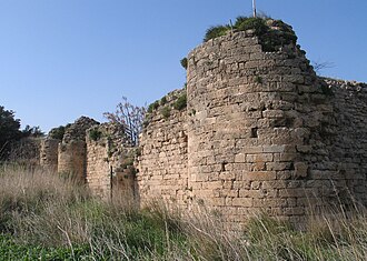
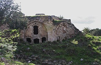
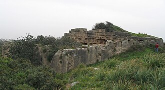
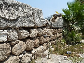
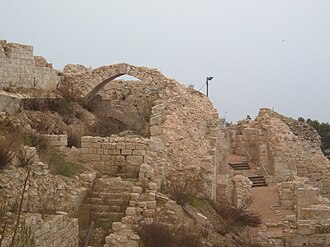
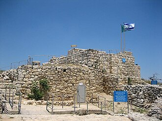
カコ(カクーン)(英語: Qaqun、ヘブライ語: קאקון)は、現在のイスラエルにある12世紀の十字軍の城で、ネタニヤから15km、「ユートピア」公園およびキブツ・バハンから3kmのところにある。 城の最初の言及は1123年に遡り、カイサリアからナブルスへの街道上の防御要塞として創設された。
日帰り:25〜60km
- アポロニア・アルスフ
30 km 南 · 城跡
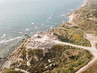
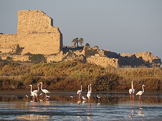
アポロニア(古代ギリシア語: Ἀπολλωνία、ヘブライ語: אפולוניה)は、初期イスラム時代にはアルスーフ(アラビア語: أرْسُوف、ラテン文字転写: Arsūf)、十字軍のエルサレム王国ではアルスールとして知られ、現在のイスラエルの地中海沿岸にあった古代都市である。
- ベルヴォア砦
59 km 東 · 城跡
ベルヴォア砦(ベルヴォアとりで、英語: Belvoir Fortress)、コチャヴ・ハヤルデン(ヘブライ語: כוכב הירדן, Kochav HaYarden:「ヨルダンの星」の意)、カウカブ・アル=ハワ(アラビア語: كوكب الهوا, Kawkab…
- Qula
46 km 南 · 城跡
クーラ(アラビア語: قولة)は、委任統治領パレスチナのラムラ郡にあったパレスチナ人の村で、ラムラの北東15キロメートルに位置していた。住民はジムズ、アンムーリヤその他の地に起源を持っていた。
- Migdal Afek
41 km 南 · 城跡
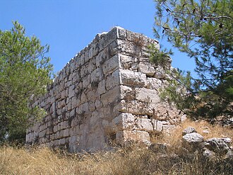
ミグダル・アフェク(ヘブライ語:מגדל אפק)、別名ミグダル・ツェデク(Tzedek、Zedek、ヘブライ語:מגדל צדק)は、イスラエルのロシュ・ハアインの南東縁にある国立公園である。
- Citadel of Acre
55 km 北 · 要塞
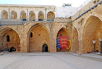
サン=ジャン=ダクルのホスピタル騎士団のコマンドリーは、聖ヨハネ・エルサレム騎士団(ホスピタル騎士団としても知られる)によって創設された記念碑的な複合施設である。サン=ジャン=ダクル(現在のイスラエルのアッコ)の市内に位置する。
- Le Destroit
29 km 北 · 城跡
ル・デトロワ(別名については下記参照)は、12世紀初頭に十字軍のエルサレム王国のテンプル騎士団によって建てられた、廃墟となった中世の要塞化された街道の駅で、地中海沿岸、彼らが後にシャトー・ペルラン城を築いた場所の近く、今日のイスラエルの現代の町アトリットの近くに位置する。
- Tel Afula
39 km 北東 · 城跡
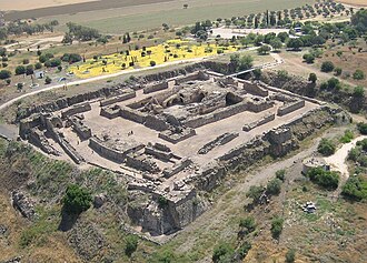
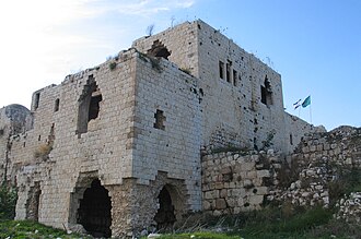
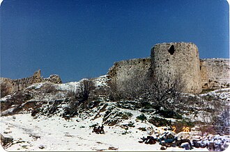
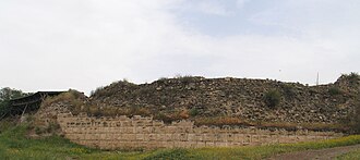
テル・アフーラ、アル=フーラ — イズレエル平原にあり、エルサレムおよびティベリアからの街道の交差点に位置するテンプル騎士団の要塞。城は120×90メートルの長方形の平面で築かれ、広い堀に囲まれていた。城の守備隊は60名の騎士であった。この要塞は1187年のハッティンの戦いの後に失われた。
さらに遠く:60〜100km
- ダビデの塔
80 km 南 · 要塞 · 世界206位
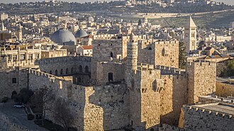
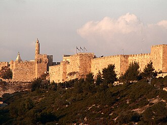
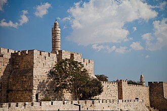
ダビデの塔(ダビデのとう、ヘブライ語: מגדל דוד(ミクダール・ダヴィッド)、アラビア語: برج داود(ブルジュ・ダーウード)、英語: Citadel(シタデル))は、エルサレム旧市街の西端、ヤッフォ門の南隣にある古代からの城塞。
- Walls of Jerusalem
81 km 南 · 要塞 · 世界302位
エルサレムの城壁(ヘブライ語: חומות ירושלים、アラビア語: أسوار القدس)は、エルサレム旧市街(約1平方キロメートル)を取り囲んでいる。1535年、エルサレムがオスマン帝国の一部であった時代に、スルターン・スレイマン1世は荒廃した市壁の再建を命じた。
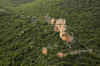
- モンフォール城
72 km 北東 · 城跡
モンフォール(ヘブライ語: מבצר מונפור、Mivtzar Monfor、アラビア語: قلعة القرين、Qal'at al-Qurain あるいは Qal'at al-Qarn - 「小さな角の城」または「角の城」、ドイツ語: Burg…
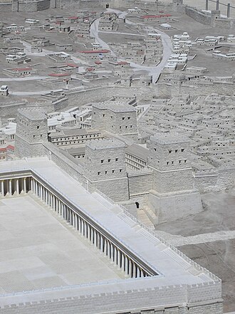
- アントニア要塞
80 km 南 · 城跡
アントニア要塞(アラム語:קצטרא דאנטוניה)は、ヘロデ大王によって築かれ、ヘロデの庇護者マルクス・アントニウスにちなんで名付けられた城砦で、その主たる機能は第二神殿を守ることであった。エルサレムの第二城壁の東端、神殿の丘の北西隅に建てられ、柱廊によって神殿と結ばれていた。
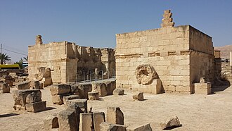
- ヒシャーム宮殿
81 km 南東 · 城跡
ヒシャーム宮殿(アラビア語:قصر هشام、Qaṣr Hishām)は、キルバト・アル=マフジャル(アラビア語:خربة المفجر)としても知られ、パレスチナのヨルダン川西岸地区、エリコ市にある重要な初期イスラームの考古遺跡である。
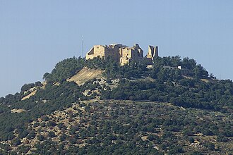
- アジュルーン城
77 km 東 · 城
アジュルーン城(アラビア語: قلعة عجلون、ラテン文字転写: Qalʻat 'Ajloun)、中世の名をカルアト・アッ=ラバドといい、ヨルダン北西部にある12世紀のムスリムの城である。
- トロン家
95 km 北東 · 城跡
トロン(現在のレバノン南部のティブニンないしテブニン)は、テュロスからダマスカスへの道沿いのレバノン山地に築かれた、十字軍の主要な城であった。城はエルサレム王国内の領主領であるトロン領の中心であり、実際にはガリラヤ公領の陪臣領であった。
- アレクサンドレイオン
65 km 南東 · 城跡
アレクサンドレイオン(ギリシア語)、あるいはアレクサンドリウム(ラテン語)は、ミシュナーとタルムードではサルタバ、アラビア語ではカルン・サルタバと呼ばれ、スキュトポリスとエルサレムの間、西からヨルダン渓谷を見下ろす尖った不毛の丘の上にハスモン朝によって築かれた古代の丘上要塞である。
- Ateret Fortress
91 km 北東 · 城跡
シャステレ(Chastelet、ベイトゥラフザンとしても知られる)は、イスラエルのヨルダン川上流の渡渉点ヤコブの浅瀬のかたわらにあった城である。城は十字軍時代にテンプル騎士団とエルサレム王国の軍によって築かれたが、1179年にサラディンの軍によって破壊された。
- Herod's Palace at Jerusalem
80 km 南 · 城跡
エルサレムのヘロデの宮殿は、紀元前37年から紀元前4年までユダヤの王であったヘロデ大王によって、紀元前1世紀の最後の四半世紀に建てられた。ヘロデの時代には神殿そのものに次いでエルサレムで2番目に重要な建物であり、エルサレム上町(バビロニアによるエルサレム略奪の後に放棄された西の丘)の北西の城壁沿いに…
- Safed Fortress
79 km 北東 · 城跡
ツファットの城塞は、現代の都市ツファットが位置する山の頂上にある、現在は失われた要塞城である。さらに、第二神殿時代後期およびローマ帝国期にも要塞が存在した。しかし、この場所に残る遺構の大半は十字軍、マムルーク朝、オスマン帝国の時代のものである。城塞は十字軍にとって重要な行政の中心地であった。
- カステル国立公園
76 km 南 · 城跡
カステル国立公園(ヘブライ語:גן לאומי קסטל)はイスラエルの国立公園であり、ユダヤ山地にある要塞化された山頂から成る。かつてのパレスチナ人の村アル=カスタルの跡地にあり、ヘブライ語話者にはハ=カステル、すなわち「ザ・カステル」として知られる。

この範囲にほか5件:すべてインタラクティブ地図に掲載。
距離は市街地の中心からの直線距離です。都市の座標と人口:Wikidata Q471886。
よくある質問
ハデラの近くにはいくつの城がありますか?
Castle Mapアトラスは、ハデラの中心から直線距離100km以内に27件(城1件・要塞5件・城跡21件)を収録しています。これは十分に記録された名所を厳選したもので、これまでに築かれたすべての城砦を数えたものではありません。
ハデラに最も近い城は?
Cacoです。市街地から14 km 南東にある城跡です。
ハデラ周辺で最も有名な城は?
ダビデの塔です。アトラスの知名度ランキングで世界206位(全9,035件中)で、ハデラから80 km 南です。
近隣の都市ガイド:トゥルカレム (19 km) · ウンム・アル・ファーム (23 km) · アフラ (39 km) · ナーブルス (41 km)。関連:中世の城 · すべてのランキング · 国別の城。