Ruïne
Kayts Island Fort
🇱🇰 Sri Lanka · 17e eeuw
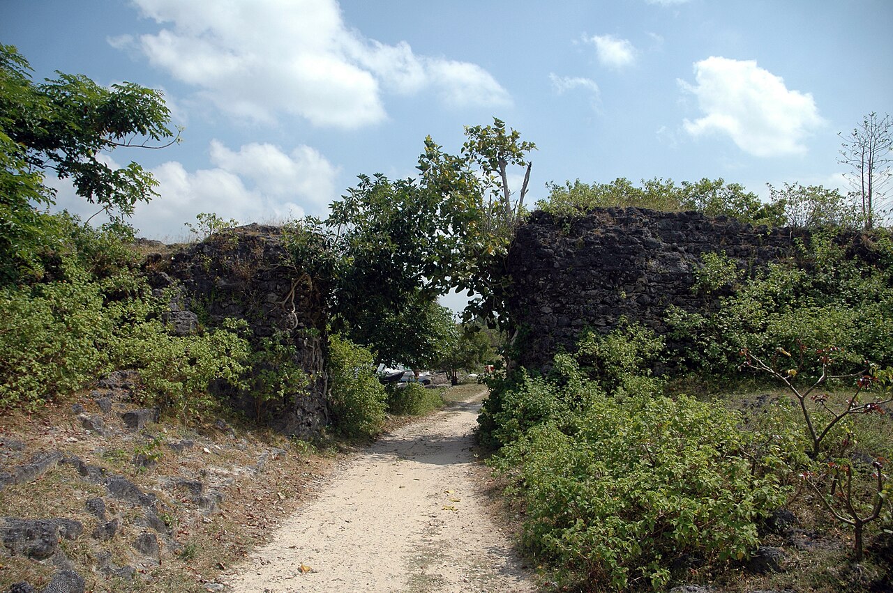
Het fort van Kayts Island (Tamil: ஊர்காவற்றுறைக் கோட்டை, getranslitereerd: Ūrkāvaṟṟuṟaik Kōṭṭai; Singalees: කයිට්ස් දූපත් බලකොටුව Kayits Dupath Balakotuwa) werd in 1629 gebouwd door de Portugezen en in 1651 verlaten. In de late jaren 1600 kregen de Nederlanders zeggenschap over het fort, nadat zij het eiland Kayts hadden overgenomen. Onder Nederlands bestuur was het niet gebruikelijk het fort te restaureren, zoals bij de vroegere Portugese forten wel gebeurde.
Het hoefijzervormige fort met vier ronde bastions werd gebouwd om, net als andere Portugese forten op het schiereiland, het Jaffna-schiereiland te beschermen. Naast het fort lag een van de belangrijkste handelshavens, genaamd "Urundai". Daarom stond het fort ook bekend als "Urundai Fort". Het Tamil-woord "Urundai" betekent letterlijk bol of rond van vorm.
Machinaal vertaald uit “Kayts Island Fort” op de Engelstalige Wikipedia, CC BY-SA 4.0.
Kayts Island Fort staat op plaats 6.568 van 8.134 in de bekendheidsranglijst van deze atlas en op plaats 14 van de 15 die de atlas op Sri Lanka in kaart brengt. Gebouwd in 1629, en daarmee ouder dan 30% van de gedateerde bouwwerken in de atlas — een van de 626 bouwwerken in de atlas die uit de 17e eeuw stammen. Binnen 25 km staan nog 2 andere bouwwerken uit de atlas. Zie hoe dat zich verhoudt in de kastelenstatistiek.
Bekijk op de interactieve kastelenkaart →Veelgestelde vragen
Waar ligt Kayts Island Fort?
Kayts Island Fort ligt op Sri Lanka, op 9.70081°, 79.85204°.
Wanneer werd Kayts Island Fort gebouwd?
De atlas dateert de stichting op 1629. Er kunnen eerdere bouwwerken hebben gestaan; dit is het oudste gedocumenteerde bouwjaar.
Hoe bekend is Kayts Island Fort?
In de bekendheidsranglijst van deze atlas: plaats 6.568 van 8.134 wereldwijd, plaats 14 op Sri Lanka. Bekendheid combineert het aantal Wikipedia-taalversies met het aantal lezers.
Welk kasteel ligt het dichtst bij Kayts Island Fort?
Fort Hammenhiel, ongeveer 1 km verderop.
Meer kastelen op Sri Lanka
- Fort Matara Sri Lanka · 16e eeuw
- Sterfort van Matara Sri Lanka · 18e eeuw
- Fort Katuwana Sri Lanka · 17e eeuw
- Sigiriya Sri Lanka · 2e eeuw v.Chr.
Meer ruïnes
- Kuh-e-Ghal'eh, Ferdows Iran
- Ain Umm el-Dabadib Egypte
- Castle Hackett Ierland · 13e eeuw
- Søborg Slot Denemarken · 12e eeuw