Ruin
Kayts Island Fort
🇱🇰 Sri Lanka · 17th century
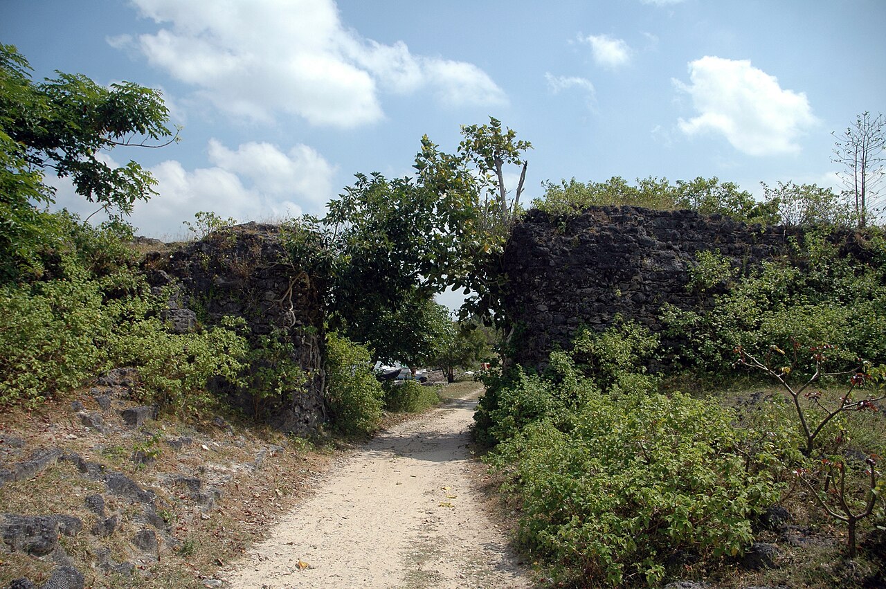
The Kayts Island Fort (Tamil: ஊர்காவற்றுறைக் கோட்டை, romanized: Ūrkāvaṟṟuṟaik Kōṭṭai; Sinhala: කයිට්ස් දූපත් බලකොටුව Kayits Dupath Balakotuwa) was built by the Portuguese in 1629 and was abandoned in 1651. In the late 1600s, Dutch controlled the fort when they took over the Kayts island. During the Dutch rule, it was not normal to undergo restoration like the former forts of Portugal.
The horseshoe shaped fort with four circular bastions was built to protect Jaffna Peninsula like other Portuguese forts in the peninsula. There was one of the primary commercial ports called “Urundai” beside the fort. Therefore, the fort was known as “Urundai Fort”. The Tamil word “Urundai” literally means sphere or round-shape.
Text adapted from “Kayts Island Fort” on Wikipedia, CC BY-SA 4.0.
Kayts Island Fort ranks #6,568 of 8,134 worldwide in the atlas's castle fame ranking, and #14 of the 15 mapped in Sri Lanka. Founded 1629, it is older than 30% of the atlas's dated landmarks — one of 626 atlas entries founded in the 17th century. 2 more atlas landmarks stand within 25 km. See how Sri Lanka compares in the castle statistics.
View on the interactive castle map →Frequently asked questions
Where is Kayts Island Fort?
Kayts Island Fort stands in Sri Lanka, at 9.70081°, 79.85204°.
When was Kayts Island Fort built?
The atlas dates its founding to 1629. Earlier structures may have stood on the site; this is the earliest documented founding year.
How famous is Kayts Island Fort?
In this atlas's fame ranking: #6,568 of 8,134 worldwide, and #14 in Sri Lanka. Fame here combines how many Wikipedia language editions cover a landmark with how many people read them.
What is the nearest castle to Kayts Island Fort?
Fort Hammenheil, about 1 km away.
More castles in Sri Lanka
- Matara Fort Sri Lanka · 16th century
- Matara Star Fort Sri Lanka · 18th century
- Katuwana Fort Sri Lanka · 17th century
- Sigiriya Sri Lanka · 2nd century BC
More ruins
- Kuh-e-Ghal'eh, Ferdows Iran
- Ain Umm el-Dabadib Egypt
- Castle Hackett Ireland · 13th century
- Søborg Castle Denmark · 12th century