Ruin
Demerdji Isar
🇺🇦 Ukraine · 13th century
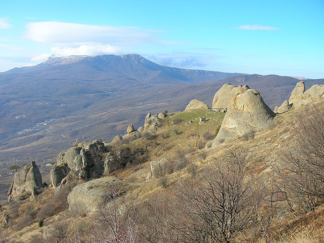
Demerdji Isar (also Demerdji II) is the ruin of a medieval fortification (a village refuge) in Crimea, not far from the village of Luchistoye in greater Alushta, built by the inhabitants of the settlement of Demerdji in the 10th century and existing until the 13th century. The fortification controlled the ancient road leading from the Dzhurla tract (the area of the settlement of Ulu-Uzen) into the Alushta valley. The fortification has not been studied and no excavations have been carried out; all information about it is the result of visual inspections by historians. The fortification is not described in the scholarly literature. There is a version that after the Theodorites built the fortress of Funa in the 13th century the need for the refuge disappeared.
The refuge was situated on the slope of southern Demerdji, on a gentle platform beneath tower-like rocks in the eastern part of the Valley of Ghosts. From the north it is shielded by the precipices of Demerdji, and on the other sides by drops of up to 40 m. Walls laid "dry" closed off the passages from the south-east and the south; the wall thickness is 1.5–2.7 m, the north-eastern wall 3.55–4.6 m, and the entrance was from the south-east. The area of the fortification is 0.26 hectares, its dimensions 80 by 50 m.
The fortification was mentioned by the 19th-century Russian writer and traveller Yevgeny Markov in his 1902 book "Essays on Crimea" on p. 188: "Tradition says that on the summit of Demerdji, in the time of the Genoese, there also stood a castle"; a simple mention also occurs in Lev Firsov's work "Isars — Essays on the History of the Medieval Fortresses of the Southern Coast of Crimea".
Machine-translated from “Демерджи II” on the Russian Wikipedia, CC BY-SA 4.0.
Demerdji Isar ranks #7,801 of 8,134 worldwide in the atlas's castle fame ranking, and #165 of the 188 mapped in Ukraine. Founded c. 1250, it is older than 69% of the atlas's dated landmarks — one of 861 atlas entries founded in the 13th century. 5 more atlas landmarks stand within 25 km. The nearest day-trip guide is Simferopol, 33 km away. See how Ukraine compares in the castle statistics.
View on the interactive castle map →Frequently asked questions
Where is Demerdji Isar?
Demerdji Isar stands in Ukraine, at 44.74583°, 34.4125°.
When was Demerdji Isar built?
The atlas dates its founding to c. 1250. Earlier structures may have stood on the site; this is the earliest documented founding year.
How famous is Demerdji Isar?
In this atlas's fame ranking: #7,801 of 8,134 worldwide, and #165 in Ukraine. Fame here combines how many Wikipedia language editions cover a landmark with how many people read them.
What is the nearest castle to Demerdji Isar?
Funa Fortress, about 2 km away.
More castles in Ukraine
- Asarane Burun Ukraine
- Burun Kaia Ukraine · 9th century
- Isar Baga Ukraine
- Konstantin Battery Ukraine · 19th century
More ruins
- Biskopskällaren Sweden
- Castell de Palafolls Spain · 10th century
- Lojsta Castle Sweden
- Castle of Hostoles Spain