 Ukraine · 6th century
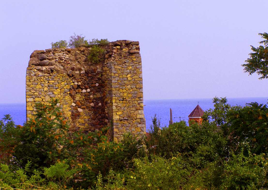
Aluston Fortress ranks #7,435 of 9,040 worldwide in the atlas's castle fame ranking, and #106 of the 195 mapped in Ukraine. Founded c. 600, it is older than 96% of the atlas's dated landmarks, one of 39 atlas entries founded in the 6th century. 7 more atlas landmarks stand within 25 km. The nearest day-trip guide is Simferopol, 39 km away. See how Ukraine compares in the castle statistics.
Aluston (Middle Greek: Ἄλουστον) was a Byzantine (later Genoese) fortress (Italian: Lusce) in Crimea, an architectural monument now situated in the centre of the town of Alushta, within the bounds of Rosa Luxemburg, 15 Aprelya, Verkhnyaya and Karl Marx streets.
The ruins of the fortress have become one of the main sights of the town. In Ukraine, within whose borders as recognised by most UN member states the object lies, it is a monument of cultural heritage of national significance; in Russia, which has controlled the territory of Crimea since 2014, it is an object of cultural heritage of federal significance.
Machine-translated from “Алустон (крепость)” on the Russian Wikipedia, CC BY-SA 4.0.
View on the interactive castle map →