Ruin
Burun Kaia
🇺🇦 Ukraine · 9th century
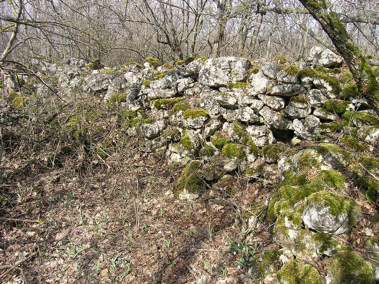
Burun Kaia (also Kalay-Burun) is the ruin of a medieval fortified enclosure (refuge) of the 9th–10th century.
It is located on the crag of the same name in the Kurushlyu massif, which forms the eastern edge of the Kacha Gates, 1.5 km west of the village of Bashtanovka. The cape is bounded on three sides by cliffs 15–35 m high, while on the landward side the plateau was blocked by a wall (about 3 m thick and 87 m long, surviving to a height of up to 1.2 m) laid dry of rubble, immediately against the inner side of which are the heavily ruined foundations of some buildings. The area of the fortification is 0.8 hectares (most of it overgrown with forest). On the basis of surface archaeological material the fortification is dated to approximately the 9th–10th century, while the negligible cultural layer suggests brief, episodic use as a refuge.
The ruined walls at Burun Kaia were discovered in 1938 by the Crimean archaeologist V. P. Babenchikov; the fortification was mentioned by N. I. Repnikov in his 1940 manuscript "Materials for an Archaeological Map of the South-Western Highlands of Crimea". E. V. Veimarn and M. Ya. Choref, in their 1976 book "A Ship on the Kacha", identified the fortification as the centre of a certain feudal domain, while according to present-day understanding the isar was a refuge for the local inhabitants in case of military danger. By decision No. 16 of the Crimean Regional Executive Committee of 15 January 1980 the ruins of the fortification on the Burun-Kaia rock were declared a historical monument of regional significance.
Machine-translated from “Бурун-Кая” on the Russian Wikipedia, CC BY-SA 4.0.
Burun Kaia ranks #7,709 of 8,134 worldwide in the atlas's castle fame ranking, and #153 of the 188 mapped in Ukraine. Founded c. 850, it is older than 94% of the atlas's dated landmarks — one of 65 atlas entries founded in the 9th century. 15 more atlas landmarks stand within 25 km. The nearest day-trip guide is Sevastopol, 30 km away. See how Ukraine compares in the castle statistics.
View on the interactive castle map →Frequently asked questions
Where is Burun Kaia?
Burun Kaia stands in Ukraine, at 44.68194°, 33.8875°.
When was Burun Kaia built?
The atlas dates its founding to c. 850. Earlier structures may have stood on the site; this is the earliest documented founding year.
How famous is Burun Kaia?
In this atlas's fame ranking: #7,709 of 8,134 worldwide, and #153 in Ukraine. Fame here combines how many Wikipedia language editions cover a landmark with how many people read them.
What is the nearest castle to Burun Kaia?
Suiren Fortress, about 7 km away.
More castles in Ukraine
- Isar Baga Ukraine
- Konstantin Battery Ukraine · 19th century
- Palace of Rumyantsev-Zadunaiskyi in Vyshenky Ukraine
- Horodyski palace Ukraine
More ruins
- Biskopskällaren Sweden
- Castell de Palafolls Spain · 10th century
- Lojsta Castle Sweden
- Castle of Hostoles Spain