 Ukraine · 14th century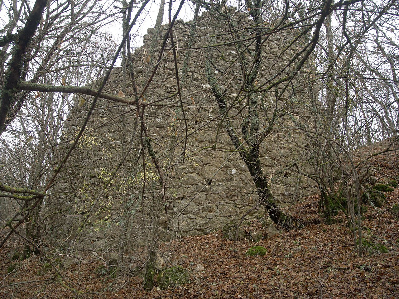
Kermenchik (also Kermen-Kale; Crimean Tatar Kermençik, Керменчик) is the conventional name of a medieval fortress of the Principality of Theodoro, located in the Bakhchysarai district of the Republic of Crimea, on Krepost mountain, approximately 300 m southwest of the village of Vysokoye (which formerly, after the fortress, bore the name Kermenchik), at an altitude of over 700 metres above sea level. By decision No. 164 of the Crimean Regional Executive Committee of 15 April 1986 the ruins of the fortress were declared a historical monument of regional significance.
Machine-translated from “Керменчик (крепость)” on the Russian Wikipedia, CC BY-SA 4.0.
Kermenchik ranks #8,882 of 9,079 worldwide in the atlas's castle fame ranking, and #180 of the 195 mapped in Ukraine. Founded c. 1400, it is older than 50% of the atlas's dated landmarks — one of 755 atlas entries founded in the 14th century. 24 more atlas landmarks stand within 25 km. The nearest day-trip guide is Sevastopol, 34 km away. See how Ukraine compares in the castle statistics.
View on the interactive castle map →