 England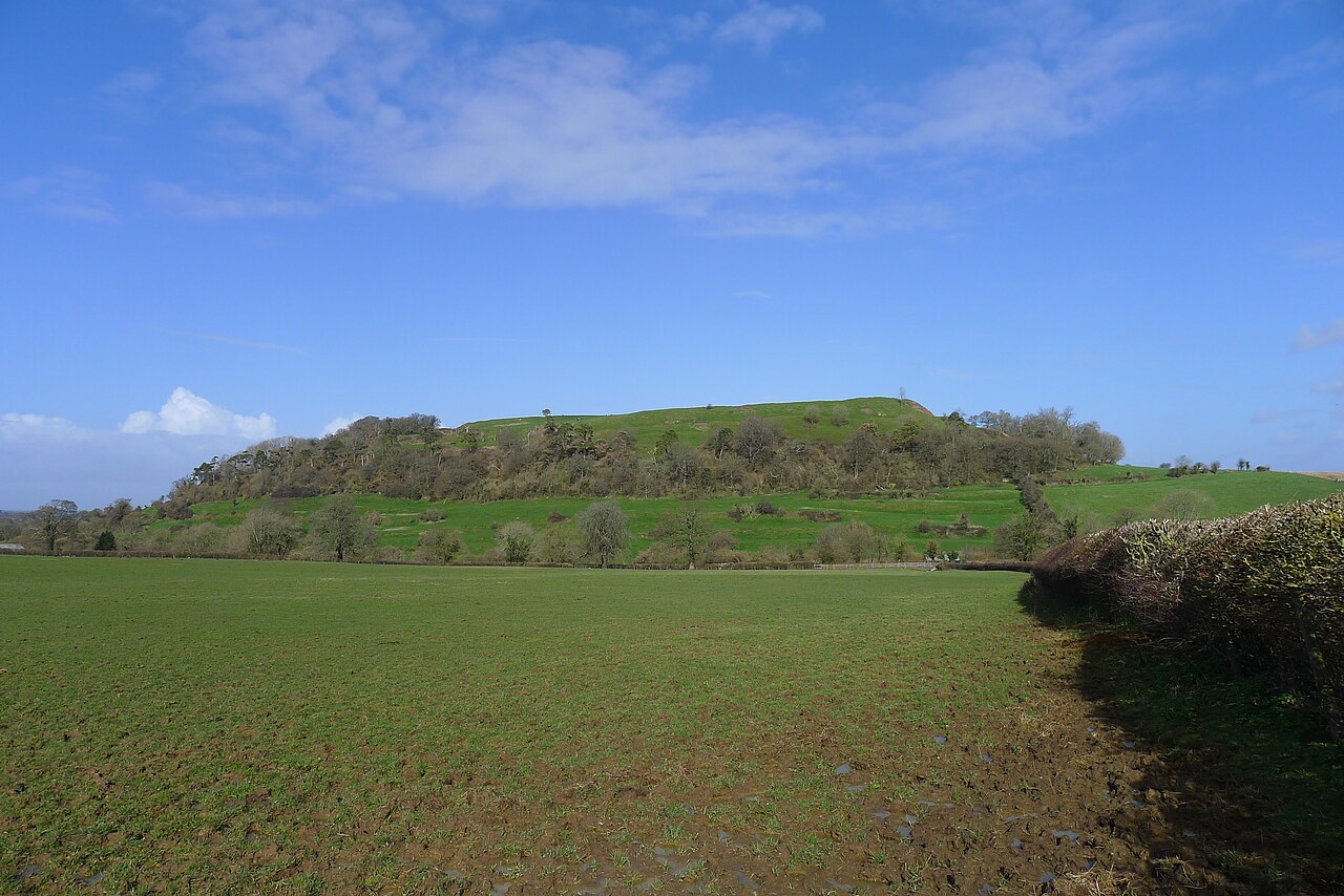
Cadbury Castle is a Bronze and Iron Age hillfort in the parish of South Cadbury in the English county of Somerset. It is a scheduled monument and has been associated with King Arthur's legendary court at Camelot.
The hillfort is formed by a 7.28 hectares (18.0 acres) plateau surrounded by ramparts on the surrounding slopes of the limestone Cadbury Hill. The site has been excavated in the late 19th and early 20th century by James Bennett and Harold St George Gray. More recent examination of the site was conducted in the 1960s by Leslie Alcock and since 1992 by the South Cadbury Environs Project. These have revealed artifacts from human occupation and use from the Neolithic through the Bronze and Iron Ages. The site was reused by the Roman forces and again from c. 470 until some time after 580. In the 11th century, it temporarily housed a Saxon mint. Evidence of various buildings at the site has been unearthed, including a "Great Hall", round and rectangular house foundations, metalworking, and a possible sequence of small rectangular temples or shrines.
Text adapted from “Cadbury Castle, Somerset” on Wikipedia, CC BY-SA 4.0.
Cadbury Castle ranks #1,623 of 9,079 worldwide in the atlas's castle fame ranking, and #104 of the 360 mapped in England. Its Wikipedia articles were opened 5,669 times in the last 60 days, more than 88% of the atlas. 2 more atlas landmarks stand within 25 km. The nearest day-trip guide is Bristol, 48 km away. See how England compares in the castle statistics.
View on the interactive castle map →