Ruin
Little Solsbury Hill
 England · 2nd century BC
- Founded
- c. 200 BC
- Heritage status
- scheduled monument
- Location
- Batheaston
- Elevation
- 191 m
- Coordinates
- 51.4102°, -2.33428°
- Open data
- Wikidata Q548780
- Links
- OpenStreetMap · Wikimedia Commons
Description
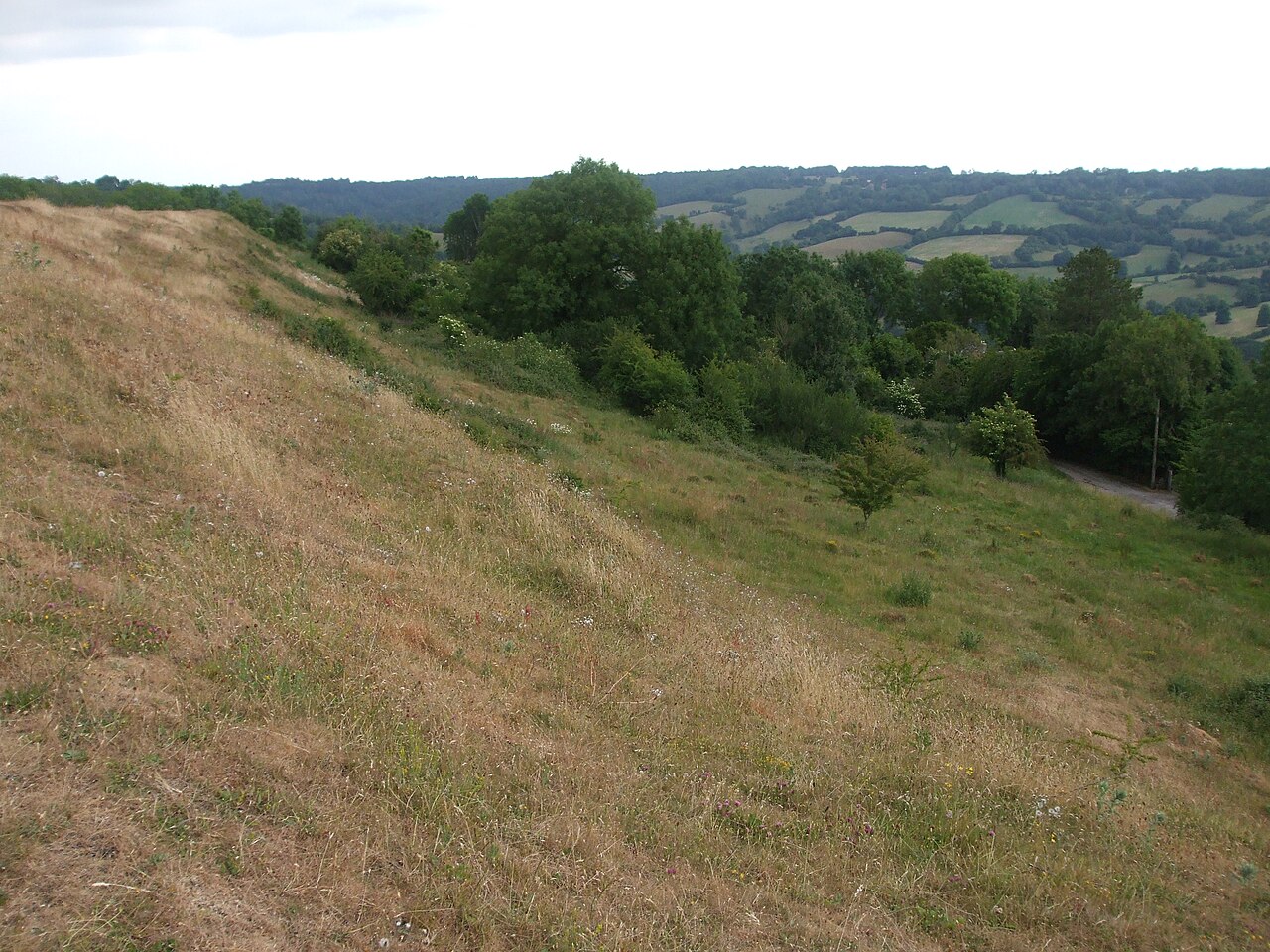
Little Solsbury Hill (or simply Solsbury Hill) is a small flat-topped hill and the site of an Iron Age hillfort, above the village of Batheaston in Somerset, England. The hill rises to 191 metres (627 ft) above the River Avon, which is just over 2 kilometres (1 mi) to the south, and gives views of the city of Bath and the surrounding area. It is within the Cotswolds Area of Outstanding Natural Beauty.
The hill is one of several possible locations of the Battle of Badon and shows the remains of a medieval field system. Part of the hill was quarried in the 19th century. In 1930, it was acquired by the National Trust. The hill was the inspiration of the Peter Gabriel song "Solsbury Hill", recorded in 1977. A small turf labyrinth was cut into the turf by protesters during the widening of the A46 in 1994.
Text adapted from “Solsbury Hill” on Wikipedia, CC BY-SA 4.0.
In the rankings
Little Solsbury Hill ranks #1,598 of 9,902 worldwide in the atlas's castle fame ranking, and #122 of the 397 mapped in England. Founded c. 200 BC, it is older than 99% of the atlas's dated landmarks, one of 13 atlas entries founded in the 2nd century BC. Its Wikipedia articles were opened 6,085 times in the last 60 days, more than 90% of the atlas. 6 more atlas landmarks stand within 25 km. The nearest day-trip guide is Bristol, 19 km away. See how England compares in the castle statistics.
Castles nearby
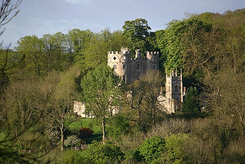
- Midford Castle7 km · England
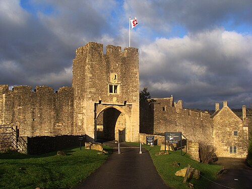
- Farleigh Hungerford Castle11 km · England
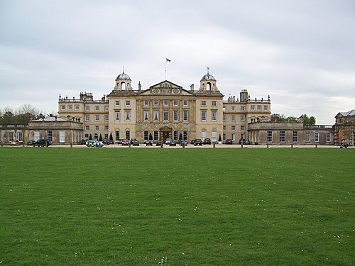
- Badminton House15 km · England
- Bristol Castle18 km · England
More castles in England
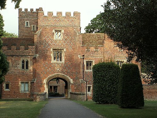
- Buckden TowersEngland · 12th century
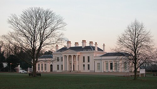
- HylandsEngland · 18th century
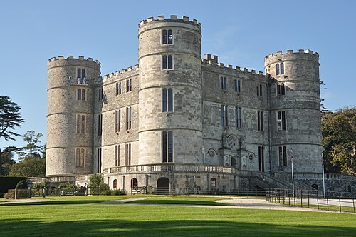
- Lulworth CastleEngland · 17th century
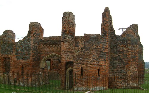
- Someries CastleEngland · 15th century