 England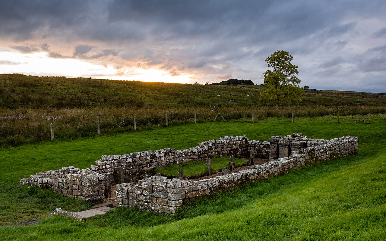
Carrawburgh is a settlement in Northumberland. In Roman times, it was the site of a 3+1⁄2-acre (1.5 ha) auxiliary fort on Hadrian's Wall called Brocolitia, Procolita, or Brocolita.
The name "Procolita" is found in the 5th-century document, the Notitia Dignitatum, and "Brocoliti" in the 7th-century Ravenna Cosmography. The name is probably based on the Celtic name for the place, and one possible translation put forward is 'badger holes'.
Text adapted from “Carrawburgh” on Wikipedia, CC BY-SA 4.0.
Carrawburgh ranks #3,063 of 9,079 worldwide in the atlas's castle fame ranking, and #205 of the 360 mapped in England. 16 more atlas landmarks stand within 25 km. The nearest day-trip guide is Newcastle upon Tyne, 39 km away. See how England compares in the castle statistics.
View on the interactive castle map →