 England · 2nd century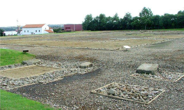
Segedunum was a Roman fort at modern-day Wallsend, North Tyneside in North East England. The fort lay at the eastern end of Hadrian's Wall near the banks of the River Tyne. It was in use for approximately 300 years from around 122 AD to almost 400. Today Segedunum is the most thoroughly excavated fort along Hadrian's Wall, and is operated as Segedunum Roman Fort, Baths and Museum. It forms part of the Hadrian's Wall UNESCO World Heritage Site.
Text adapted from “Segedunum” on Wikipedia, CC BY-SA 4.0.
Castrum Segedunum ranks #2,167 of 9,079 worldwide in the atlas's castle fame ranking, and #150 of the 360 mapped in England. Founded 122, it is older than 98% of the atlas's dated landmarks — one of 21 atlas entries founded in the 2nd century. Its Wikipedia articles were opened 1,753 times in the last 60 days, more than 66% of the atlas. 14 more atlas landmarks stand within 25 km. The nearest day-trip guide is Newcastle upon Tyne, 5 km away. It is stop 2 of 18 on the Northumberland castle coast, Newcastle upon Tyne to Berwick-upon-Tweed. See how England compares in the castle statistics.
View on the interactive castle map →