 England · 2nd century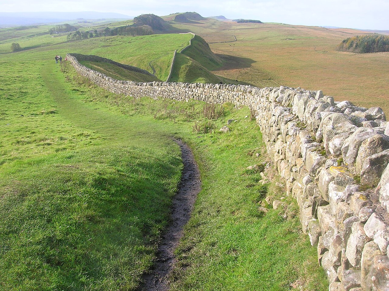
Hadrian's Wall is a former defensive fortification of the Roman province of Britannia, begun in AD 122 in the reign of the Emperor Hadrian. Running from Wallsend on the River Tyne in the east to Bowness-on-Solway in the west of what is now northern England, it was a stone wall (in its final version) with large ditches in front and behind, stretching across the whole width of the island. Soldiers were garrisoned along the line of the wall in large forts, smaller milecastles, and intervening turrets. In addition to the wall's defensive military role, its gates may have been customs posts.
Hadrian's Wall Path generally runs close along the wall. Almost all the standing masonry of the wall was removed in early modern times and used for local roads and farmhouses. None of it stands to its original height, but modern work has exposed much of the footings, and some segments display a few courses of modern masonry reconstruction. Many of the excavated forts on or near the wall are open to the public, and various nearby museums present its history. The largest Roman archaeological feature in Britain, it runs a total of 73 miles (117.5 kilometres). Regarded as a British cultural icon, Hadrian's Wall is one of Britain's major ancient tourist attractions.
It was designated a UNESCO World Heritage Site in 1987. The turf-built Antonine Wall of AD 142 in what is now central Scotland, which briefly superseded Hadrian's Wall before being abandoned, was declared a World Heritage Site in 2008.
Hadrian's Wall lies entirely within England and has never formed the Anglo-Scottish border, though it is sometimes loosely or colloquially described as such.
Text adapted from “Hadrian's Wall” on Wikipedia, CC BY-SA 4.0.
Hadrian's Wall ranks #12 of 9,079 worldwide in the atlas's castle fame ranking, and #4 of the 360 mapped in England. Founded 122, it is older than 98% of the atlas's dated landmarks — one of 21 atlas entries founded in the 2nd century. Its Wikipedia articles were opened 148,821 times in the last 60 days, more than 99% of the atlas. 14 more atlas landmarks stand within 25 km. The nearest day-trip guide is Newcastle upon Tyne, 44 km away. See how England compares in the castle statistics.
View on the interactive castle map →