 England · 2nd century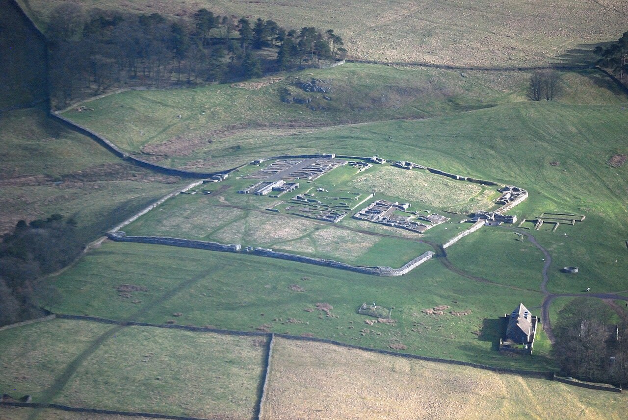
Housesteads Roman Fort was an auxiliary fort on Hadrian's Wall, at Housesteads, Northumberland, England. It is dramatically positioned on the end of the 1-mile (1.6 km)-long crag of the Whin Sill over which the Wall runs, overlooking sparsely populated hills.
It was called the "grandest station" on the Wall and is one of the best-preserved and extensively displayed forts. It was occupied for almost 300 years. It was located 5.3 miles (8.5 km) west from Carrawburgh fort, 6 miles (9.7 km) east of Great Chesters fort and about 2-mile (3.2 km) north east of the existing fort at Vindolanda on the Stanegate road.
The site is now owned by the National Trust and is currently in the care of English Heritage. Finds from the fort can be seen in the site museum, in the museum at Chesters, and in the Great North Museum: Hancock in Newcastle upon Tyne.
Text adapted from “Housesteads Roman Fort” on Wikipedia, CC BY-SA 4.0.
Housesteads Roman Fort ranks #1,413 of 9,079 worldwide in the atlas's castle fame ranking, and #93 of the 360 mapped in England. Founded 124, it is older than 98% of the atlas's dated landmarks — one of 21 atlas entries founded in the 2nd century. Its Wikipedia articles were opened 3,124 times in the last 60 days, more than 79% of the atlas. 17 more atlas landmarks stand within 25 km. The nearest day-trip guide is Newcastle upon Tyne, 46 km away. See how England compares in the castle statistics.
View on the interactive castle map →