 Ireland · 18th century
Castle Otway ranks #7,896 of 9,040 worldwide in the atlas's castle fame ranking, and #171 of the 178 mapped in Ireland. Founded c. 1750, it is older than 16% of the atlas's dated landmarks, one of 685 atlas entries founded in the 18th century. 2 more atlas landmarks stand within 25 km. The nearest day-trip guide is Limerick, 39 km away. See how Ireland compares in the castle statistics.
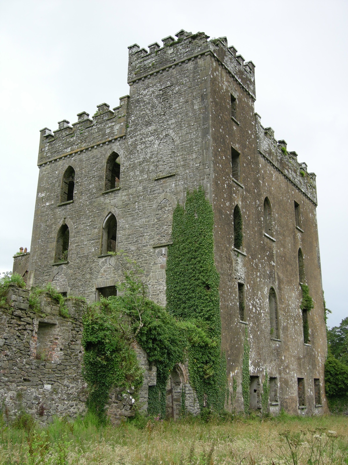
Castle Otway is a former 18th-century country house which stood on a hill on the outskirts of Templederry, near Nenagh in County Tipperary, Ireland.
The house was built in stone up against the ruins of Cloghane Castle in two storeys with a 7-bay frontage, of which the middle three were pedimented. In the 19th century a tower house was attached at the rear based on the ruins of the castle keep. The house was burnt down in 1922 during the Civil War, probably by anti-Treaty Republicans. It now stands as a derelict ruin with the gardens and estate land used for farming.
Text adapted from “Castle Otway” on Wikipedia, CC BY-SA 4.0.
View on the interactive castle map →