 Ireland · 13th century
Castle Roche ranks #5,253 of 9,040 worldwide in the atlas's castle fame ranking, and #86 of the 178 mapped in Ireland. Founded 1236, it is older than 72% of the atlas's dated landmarks, one of 1091 atlas entries founded in the 13th century. 6 more atlas landmarks stand within 25 km. The nearest day-trip guide is Drogheda, 38 km away. See how Ireland compares in the castle statistics.
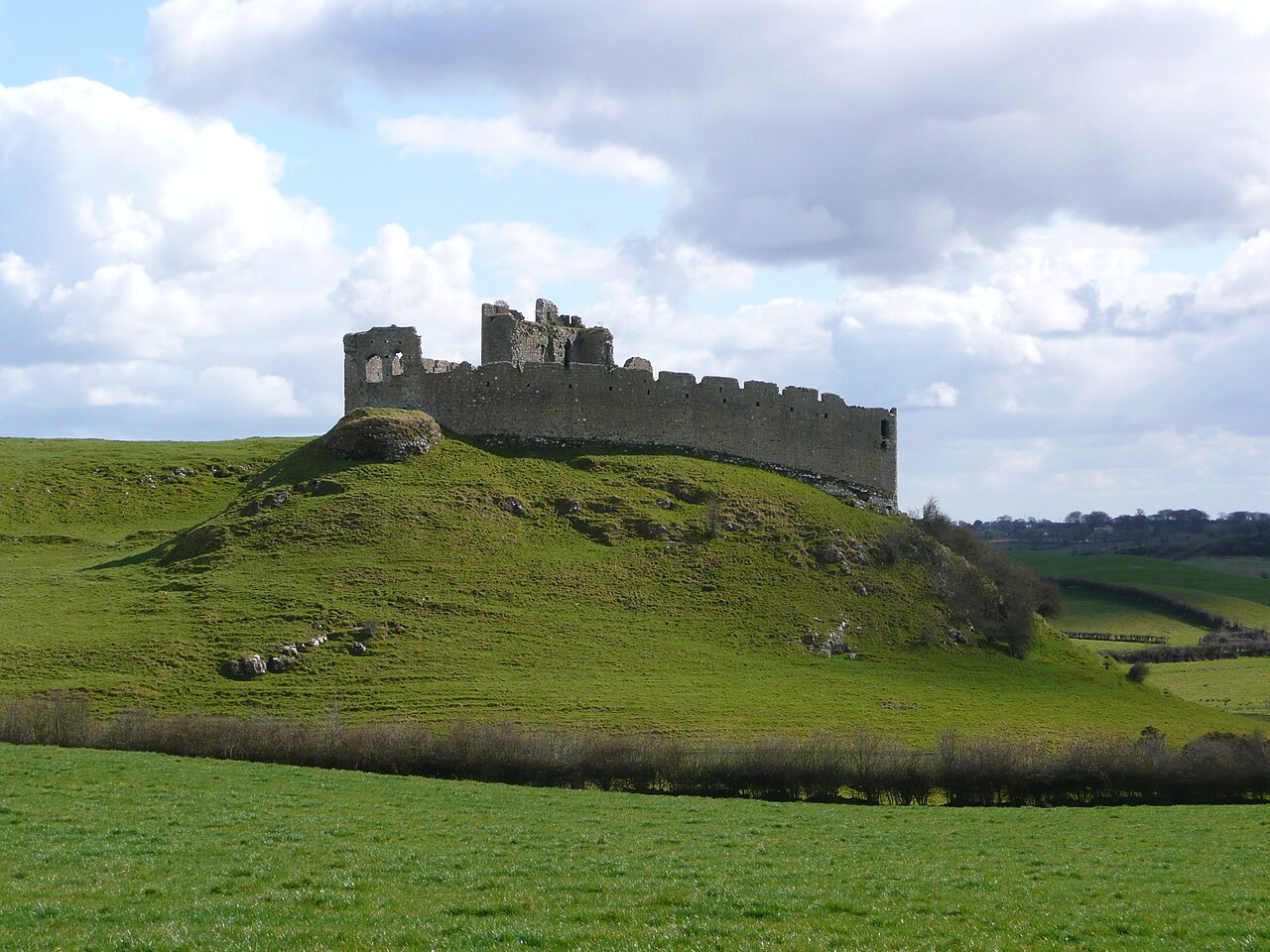
Castle Roche (Irish: Dún Gall) is a Norman castle located some 10 km (7 miles) north-west of Dundalk, County Louth, Ireland. It was the seat of the de Verdun family (also spelt de Verdon), who built the castle in 1236.
It is built upon a large rocky outcrop and commands extensive views of the surrounding country. Together with a deep moat, its strong walls rendered it virtually impregnable. A secret passage once connected the castle to a round tower outpost. St. Ronan's Well lies nearby.
Text adapted from “Castle Roche” on Wikipedia, CC BY-SA 4.0.
View on the interactive castle map →