Ruin
Craignethan Castle
 Scotland · 15th century
- Founded
- c. 1500
- Heritage status
- scheduled monument
- Location
- South Lanarkshire
- Coordinates
- 55.69656°, -3.88532°
- Open data
- Wikidata Q1092053
- Links
- Wikimedia Commons
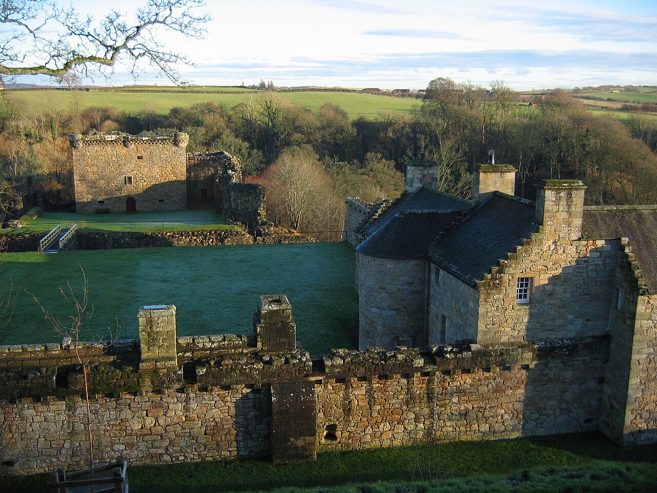
Description
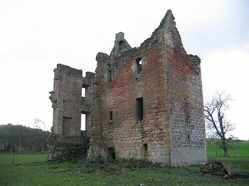
Craignethan Castle is a ruined castle in South Lanarkshire, Scotland. It is located above the River Nethan, a tributary of the River Clyde, at NS816464. The castle is two miles west of the village of Crossford, and 4.5 miles north-west of Lanark. Built in the first half of the 16th century, Craignethan is recognised as an excellent early example of a sophisticated artillery fortification, although its defences were never fully tested.
Text adapted from “Craignethan Castle” on Wikipedia, CC BY-SA 4.0.
In the rankings
Craignethan Castle ranks #5,022 of 9,902 worldwide in the atlas's castle fame ranking, and #186 of the 252 mapped in Scotland. Founded c. 1500, it is older than 43% of the atlas's dated landmarks, one of 596 atlas entries founded in the 15th century. 4 more atlas landmarks stand within 25 km. The nearest day-trip guide is Glasgow, 29 km away. See how Scotland compares in the castle statistics.
Castles nearby
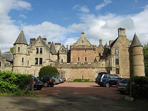
- Dalzell House10 km · Scotland
- Douglas Castle15 km · Scotland
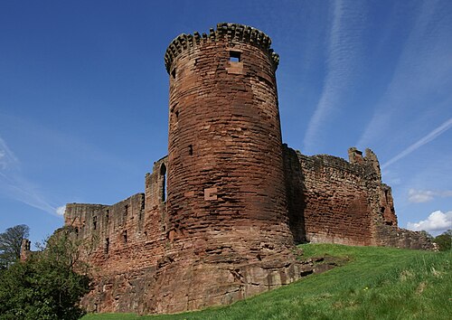
- Bothwell Castle18 km · Scotland
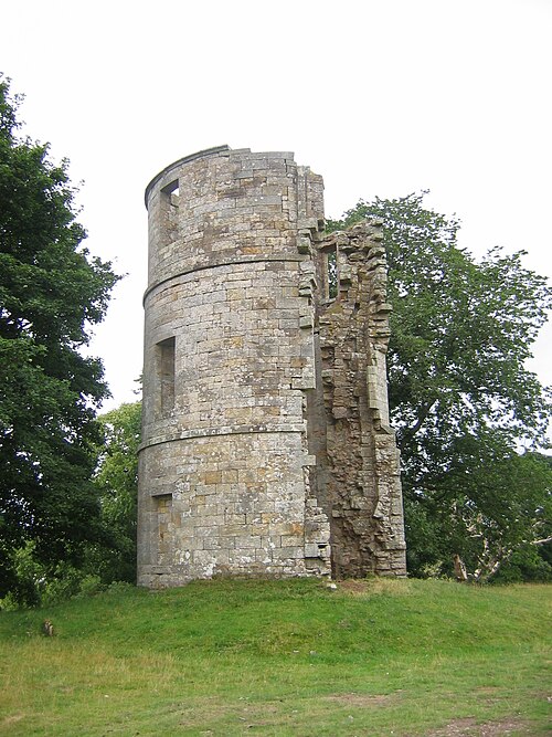
- Gilbertfield Castle20 km · Scotland
More castles in Scotland
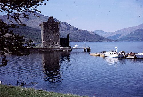
- Carrick CastleScotland · 14th century
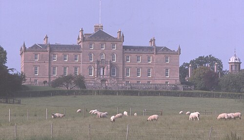
- Darnaway CastleScotland · 15th century
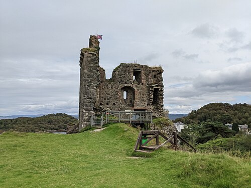
- Tarbert CastleScotland · 13th century
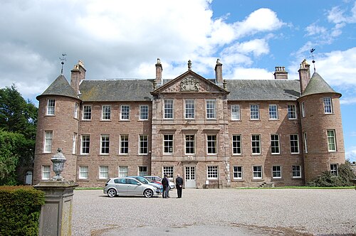
- Brechin CastleScotland · 13th century