 Palestine
Cypros ranks #8,682 of 9,040 worldwide in the atlas's castle fame ranking, and #4 of the 4 mapped in Palestine. 5 more atlas landmarks stand within 25 km. The nearest day-trip guide is Jerusalem, 20 km away. It is one of the 105 landmarks on the atlas's regional map of the Levant. See how Palestine compares in the castle statistics.
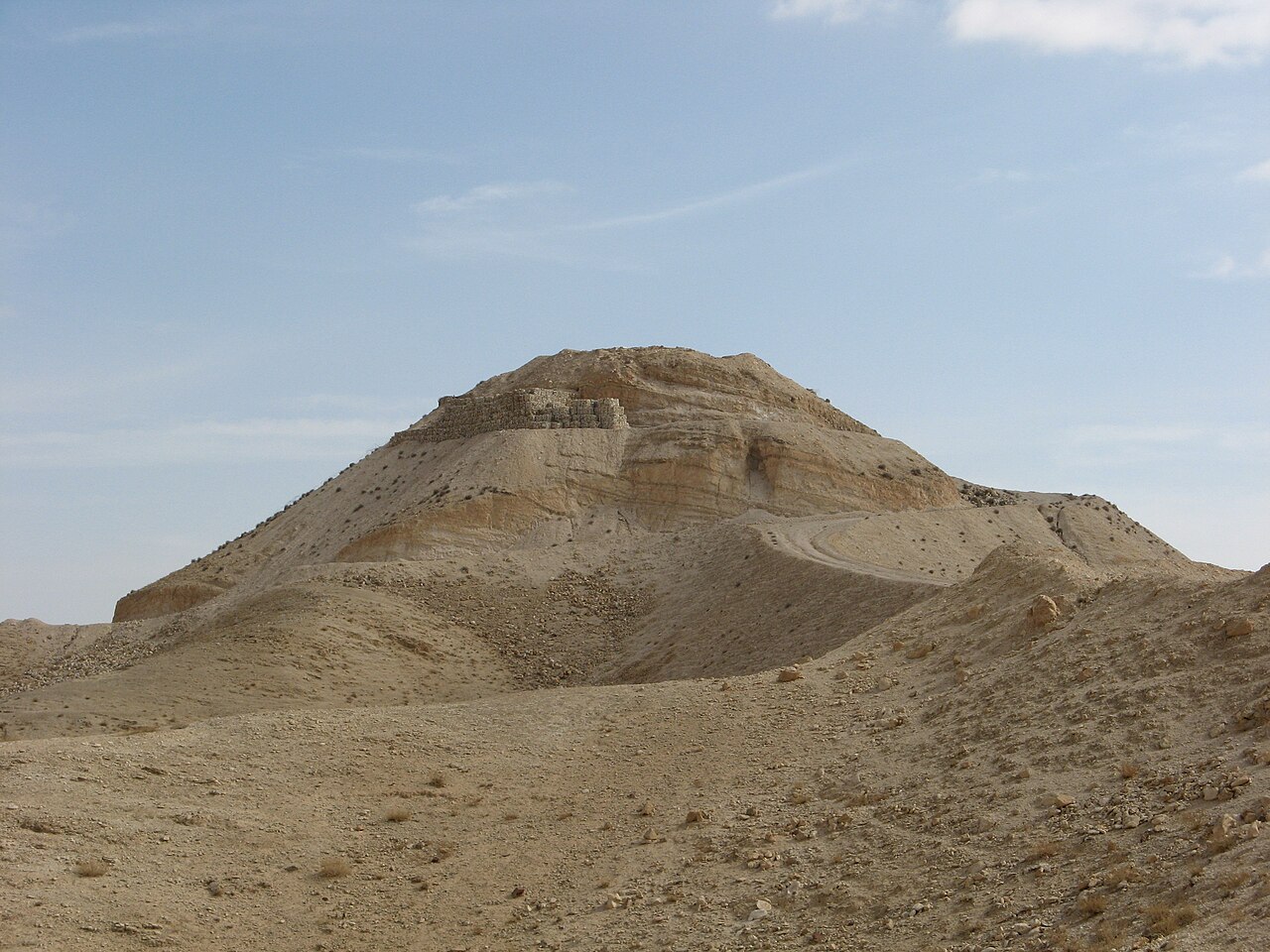
Cypros was a fort of Herod the Great. It stood on Tell Aqaba, north-west of the Dead Sea, just south-west of Jericho. The ruins on Tell Aqaba were first identified as the fortress Cypros by A. Alt in 1925. Excavations were carried out in 1974, under the direction of Ehud Netzer and Emanuel Damati.
Excavations on the spot show that a Hasmonean fort had earlier stood at this place, which was destroyed in one of the revolts between the conquest of Judea by Pompey (63 BC) and the beginning of the reign of Herod the Great (37 BC). This may be the fort Threx or Taurus, which is mentioned by Strabo (Geographica 16,2,40).
Herod had the fortress built for the protection of Jericho, where he had his winter palace. The fort was situated on a fairly high hill with steep slopes and looked out over the palace. Moreover the fort gave a good view of the main road to Jerusalem. Herod named the fortress after his mother Cypros. The rebuilt fort consisted of a fortified citadel with luxurious living quarters and bathing installations beneath it. An aqueduct 14 km long supplied the fort with water, coming from the springs at the source of the Wadi Qelt.
The fortress was captured by the Zealots at the beginning of the Jewish Revolt (AD 66). The troops stationed in Cypros were killed and the fortress was destroyed.
From the Byzantine period traces of habitation have been found, presumably from Christian monks.
Machine-translated from “Cypros (fort)” on the Dutch Wikipedia, CC BY-SA 4.0.
View on the interactive castle map →