 Hungary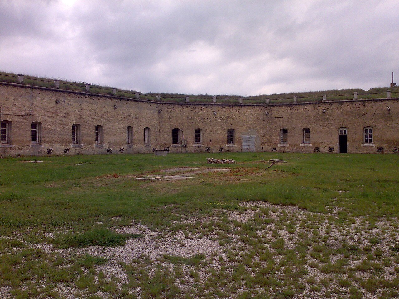
Fort Csillag (Hungarian: Csillag Erőd, German: Fort Stern) is a fortress in the Hungarian town of Komárom. It formed the main fortification structure of the Danube bridgehead, which is part of the fortification system of the town of Komárno.
Machine-translated from “Pevnosť Csillág” on the Slovak Wikipedia, CC BY-SA 4.0.
Fort Csillag, Komárom ranks #6,533 of 9,035 worldwide in the atlas's castle fame ranking, and #44 of the 135 mapped in Hungary. Its Wikipedia articles were opened 1,013 times in the last 60 days, more than 51% of the atlas. 7 more atlas landmarks stand within 25 km. The nearest day-trip guide is Nitra, 63 km away. See how Hungary compares in the castle statistics.
View on the interactive castle map →