 United States · 18th century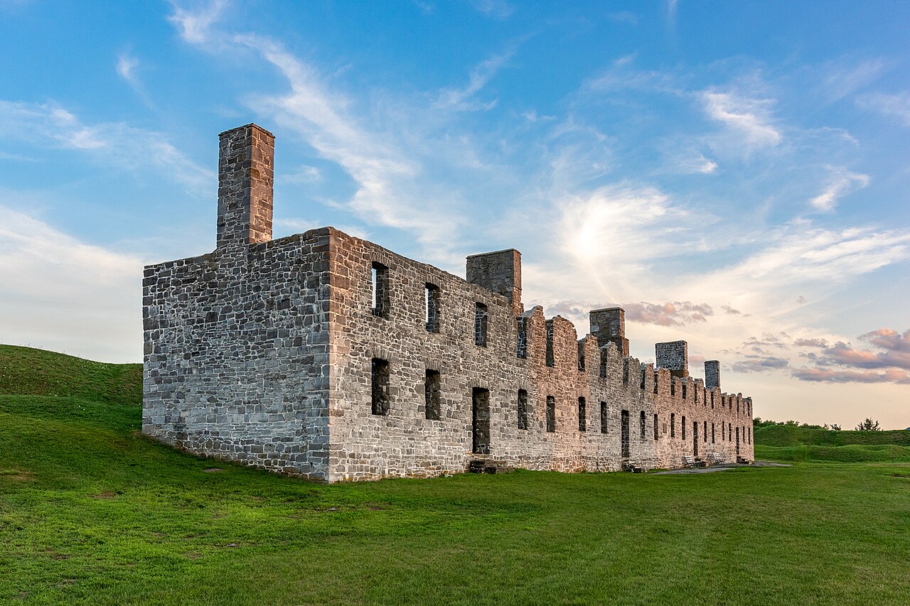
Fort Crown Point was built by the combined efforts of British and Colonial troops from New York and the New England Colonies in 1759 at a narrows on Lake Champlain on the border between New York and Vermont. It was constructed to secure the region against the French in upstate New York near the town of Crown Point, and it was the largest earthen fortress built in the American colonies. The fort's ruins are a National Historic Landmark administered as part of Crown Point State Historic Site.
Text adapted from “Fort Crown Point” on Wikipedia, CC BY-SA 4.0.
Fort Crown Point ranks #2,782 of 9,035 worldwide in the atlas's castle fame ranking, and #55 of the 110 mapped in United States. Founded 1759, it is older than 15% of the atlas's dated landmarks, one of 685 atlas entries founded in the 18th century. Its Wikipedia articles were opened 2,305 times in the last 60 days, more than 73% of the atlas. 2 more atlas landmarks stand within 25 km. See how United States compares in the castle statistics.
View on the interactive castle map →