Fortress
Fort Wint
🇵🇭 Philippines · 20th century
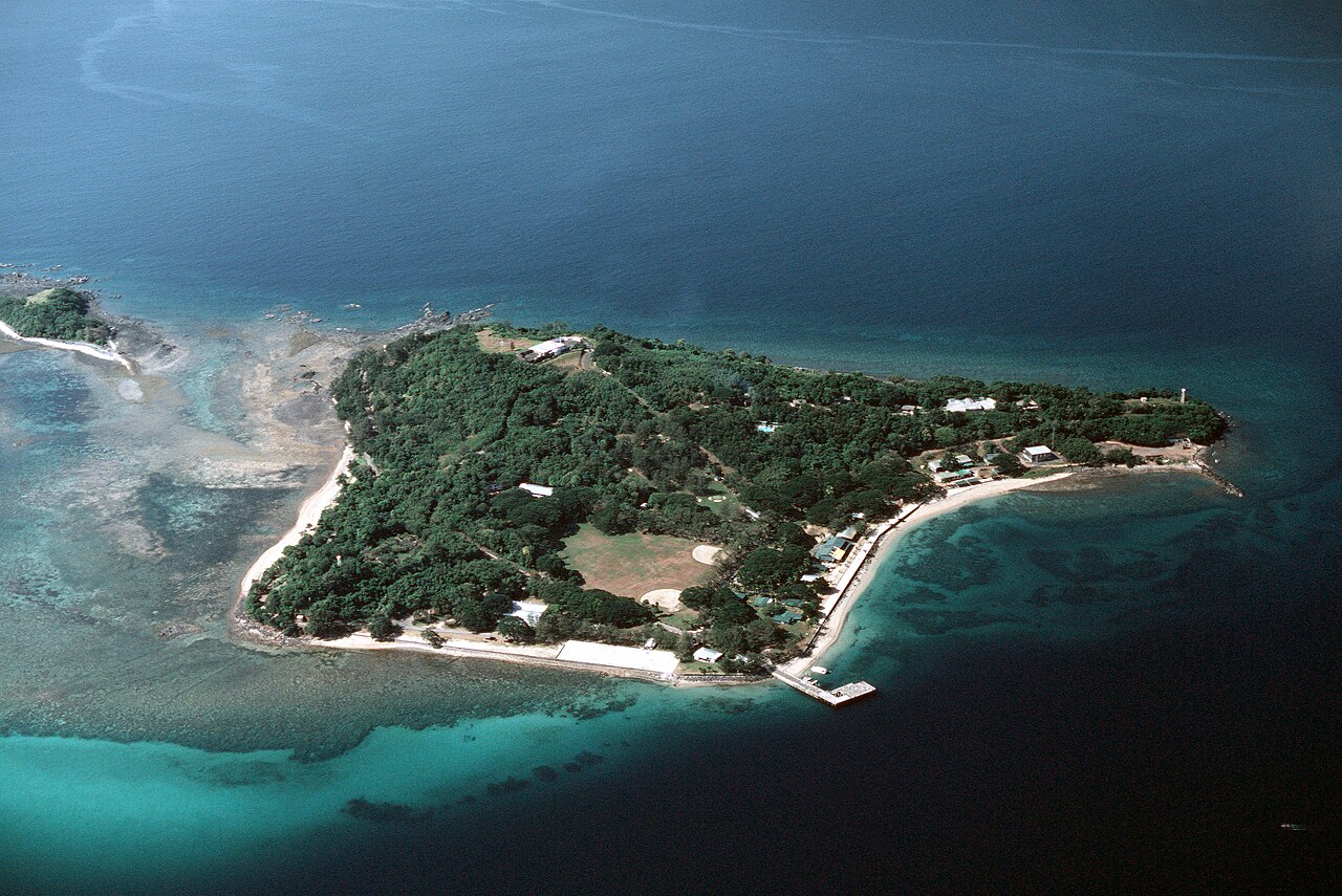
Fort Wint was part of the harbor defenses of Manila and Subic Bays built by the Philippine Department of the United States Army between 1907 and 1920 in response to recommendations of the Taft Board prior to the non-fortification clause of the Washington Naval Treaty. Fort Wint was located on Grande Island at the entrance of Subic Bay, approximately 35 miles (56 km) north of Manila Bay. The fort was named for Brigadier General Theodore J. Wint. As specified in the National Defense Act of 1935, this was one of the locations where coastal artillery training was conducted. A battery of the 60th Coast Artillery (AA) was stationed here.
Text adapted from “Fort Wint” on Wikipedia, CC BY-SA 4.0.
Fort Wint ranks #6,629 of 8,134 worldwide in the atlas's castle fame ranking, and #7 of the 14 mapped in Philippines. Founded 1910 — one of 169 atlas entries founded in the 20th century. See how Philippines compares in the castle statistics.
View on the interactive castle map →Frequently asked questions
Where is Fort Wint?
Fort Wint stands in the Philippines, at 14.76966°, 120.22786°.
When was Fort Wint built?
The atlas dates its founding to 1910. Earlier structures may have stood on the site; this is the earliest documented founding year.
How famous is Fort Wint?
In this atlas's fame ranking: #6,629 of 8,134 worldwide, and #7 in the Philippines. Fame here combines how many Wikipedia language editions cover a landmark with how many people read them.
What is the nearest castle to Fort Wint?
Fort San Felipe, about 80 km away.
More castles in the Philippines
- Fort Cuyo Philippines · 17th century
- Fort of the Conception and of the Triumph Philippines · 18th century
- Fort Pikit Philippines · 19th century
- Fort Culion Philippines · 18th century
More fortresses
- Tabarka Fort Tunisia · 16th century
- Forte de Santa Bárbara da Vila Brazil
- Forte de Santana do Estreito Brazil · 18th century
- El Mokrani Fort Algeria · 16th century