 Ukraine · 18th century
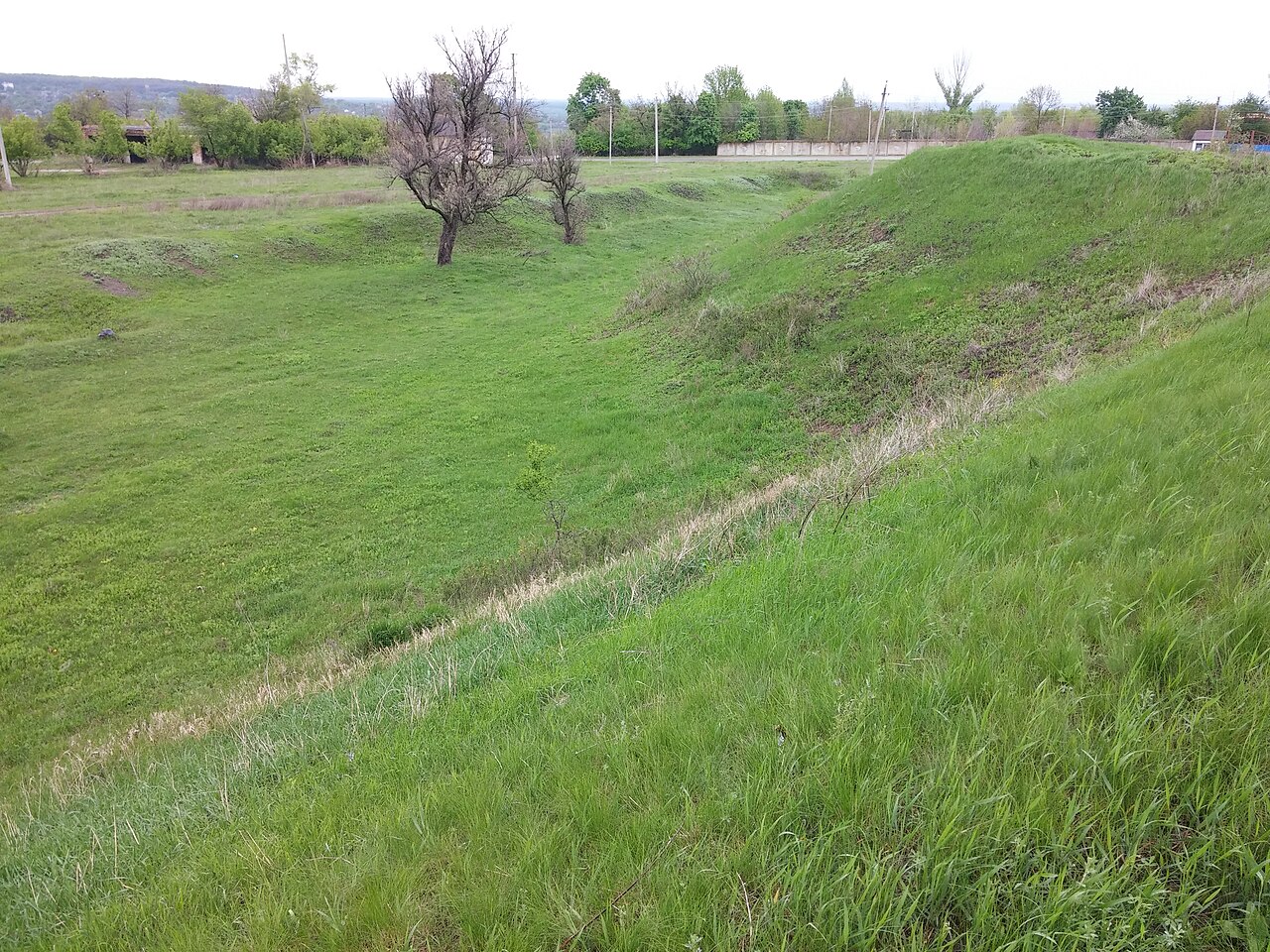
Fortress of Saint Peter ranks #8,400 of 9,040 worldwide in the atlas's castle fame ranking, and #144 of the 195 mapped in Ukraine. Founded 1770, it is older than 14% of the atlas's dated landmarks, one of 685 atlas entries founded in the 18th century. See how Ukraine compares in the castle statistics.
The Petrovskaya Fortress (Fortress of Saint Peter) was one of the fortresses of the Dnieper Line, on the shore of the Sea of Azov near the mouth of the Berda river. Its construction began in 1770, during the Russo-Turkish War of 1768 to 1774, and lasted until 1782. The garrison was to consist of four battalions and five hundred Cossacks, supported by 170 cannons, 30 mortars, 6 howitzers and 100 small mortars.
The ground on which the fortress stood is now part of the village of Novopetrivka in Berdiansk Raion, Zaporizhzhia Oblast.
Machine-translated from “Петрівська фортеця (Дніпровська лінія)” on the Ukrainian Wikipedia, CC BY-SA 4.0.
View on the interactive castle map →